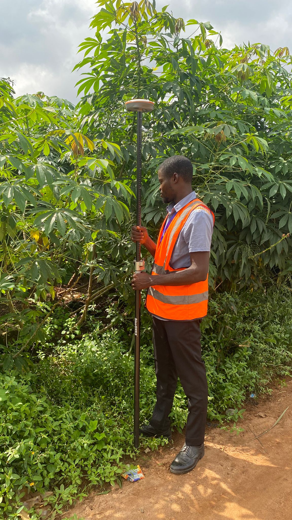
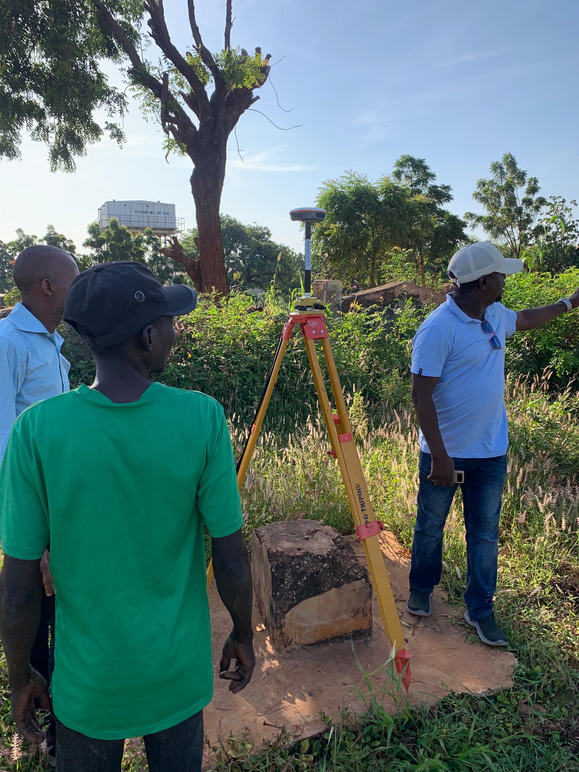
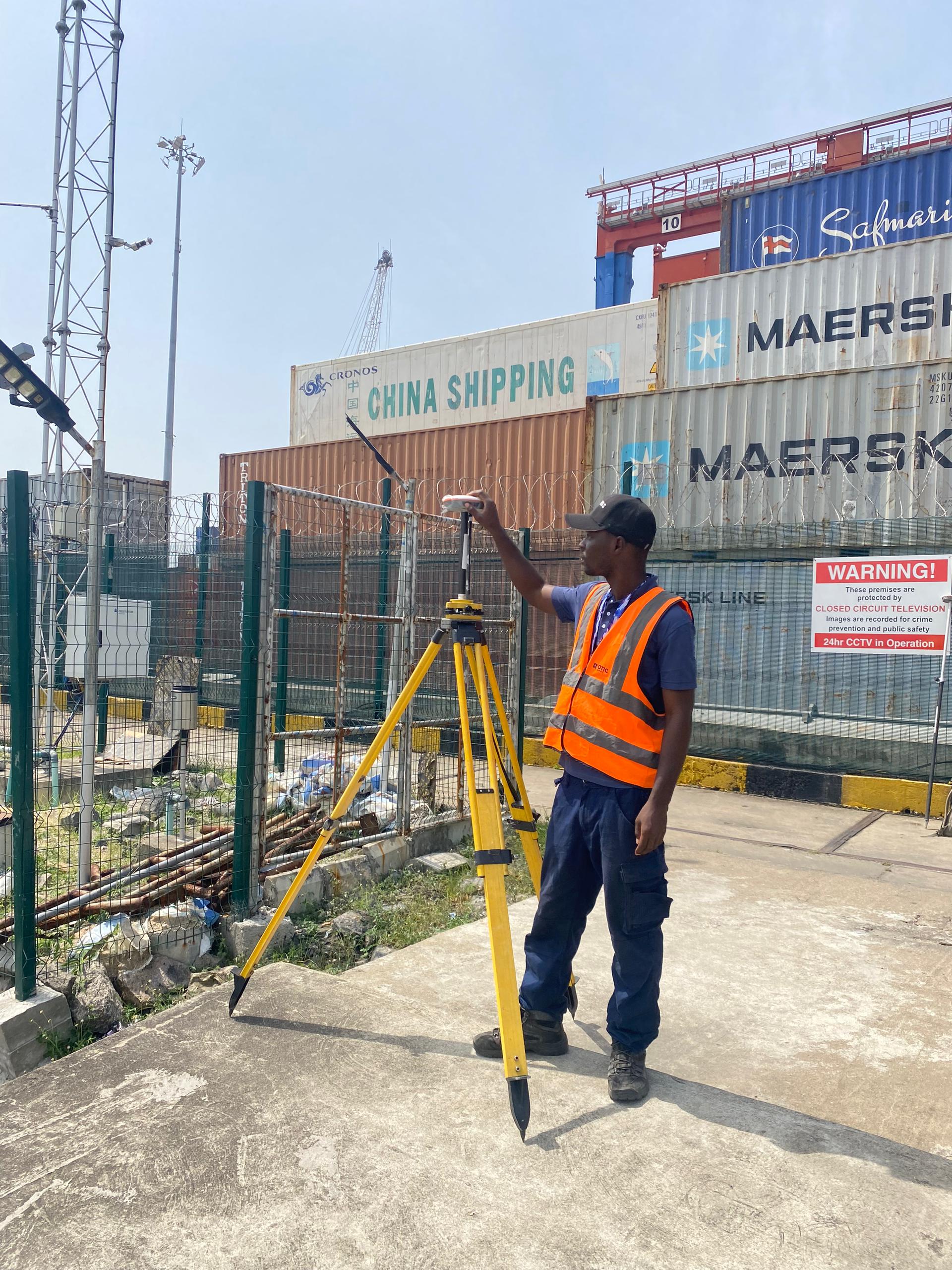
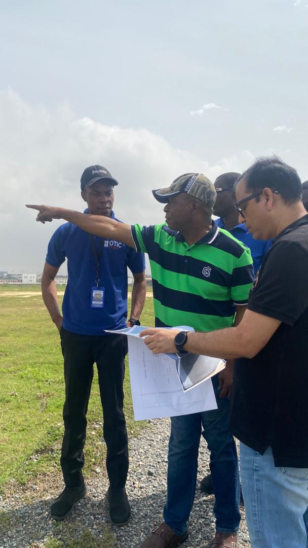
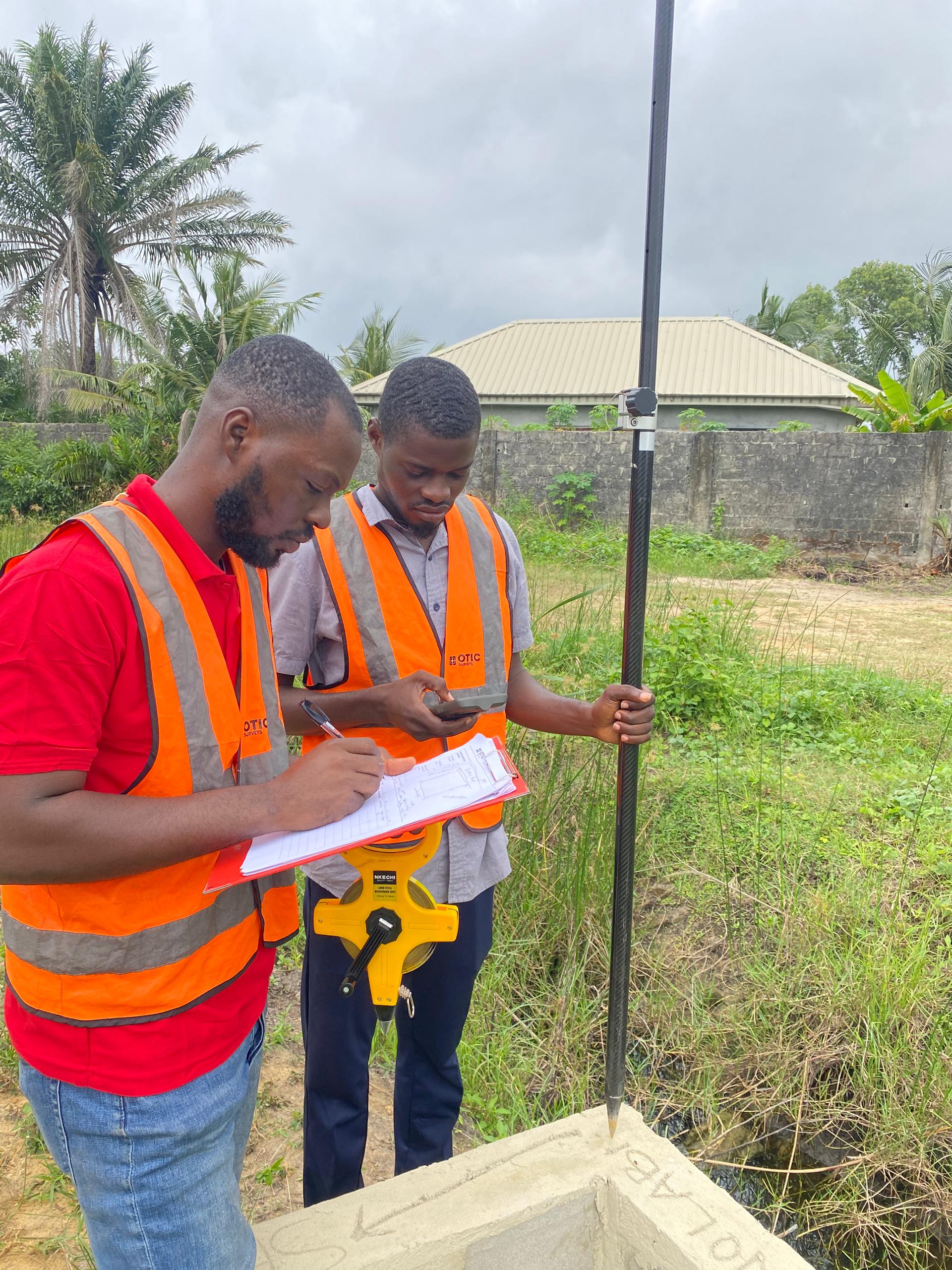
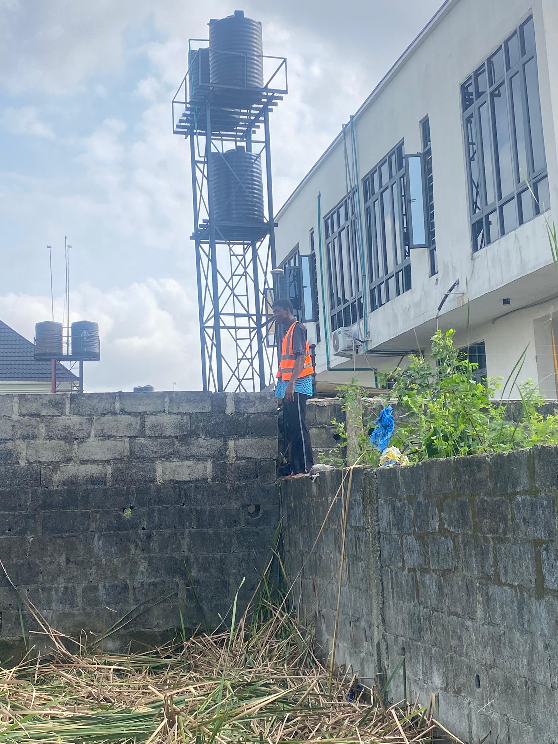
Buying land is one of the biggest investments you can make. But in Nigeria today, countless property owners face unnecessary stress and financial loss simply because they started building without a proper survey plan. A survey plan is more than a document — it’s your proof of ownership, boundary definition, and long-term peace of mind. Land Ownership Without Boundaries Is a Risk Many people buy…
