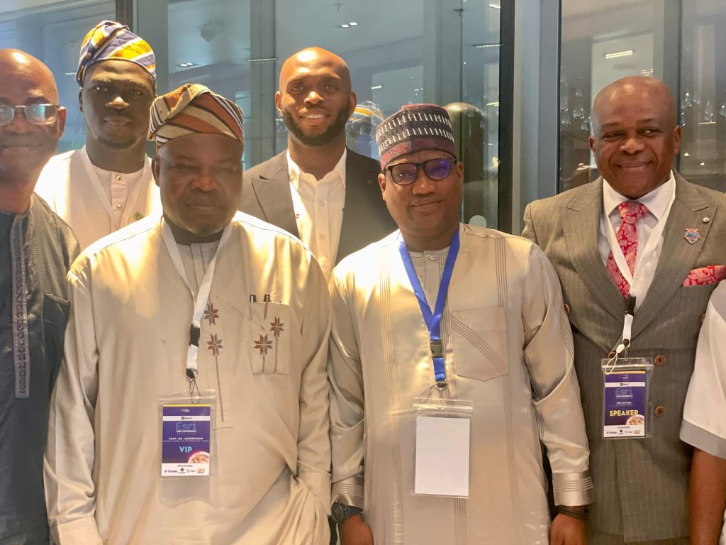
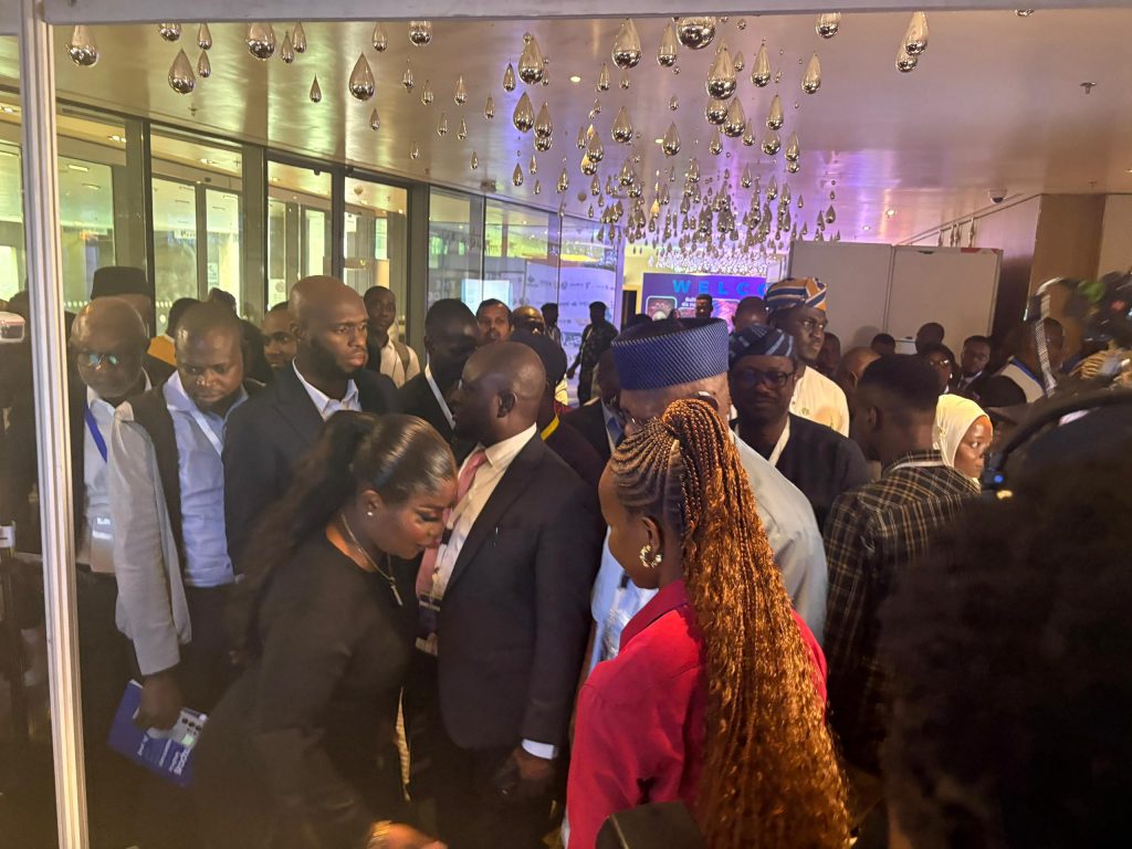
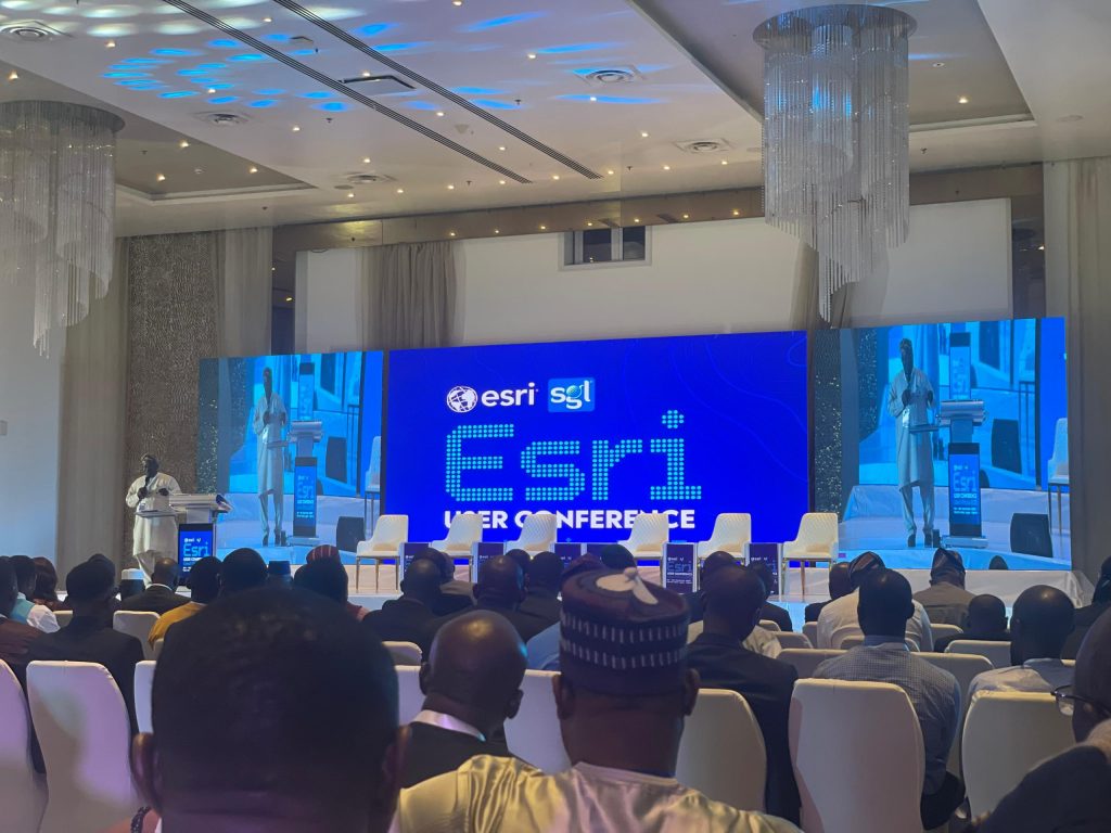
Otic Surveys proudly exhibited at the ESRI User West Africa Conference, one of the most important gatherings for geospatial professionals, innovators, and decision-makers across the region. The conference brought together a diverse community united by a common interest: harnessing the power of Geographic Information Systems (GIS) to solve challenges and create smarter solutions for Africa.
For us at Otic Surveys, this was more than just an exhibition, it was an opportunity to showcase our expertise, connect with fellow professionals, and demonstrate our role in advancing geospatial practice in West Africa.
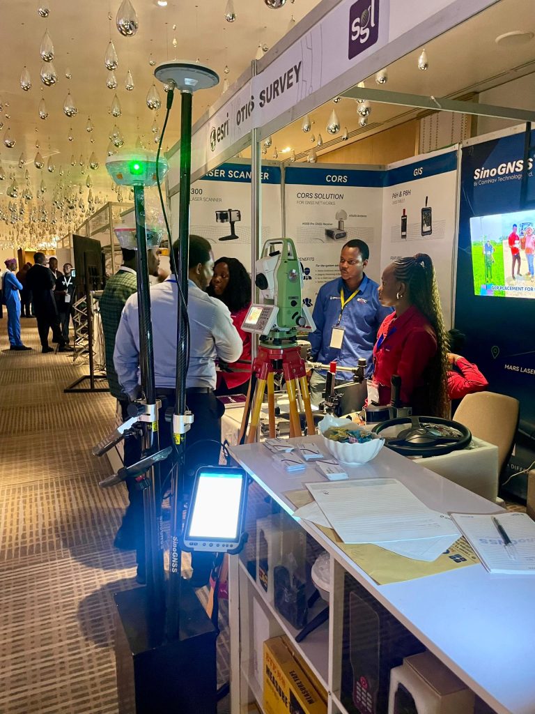
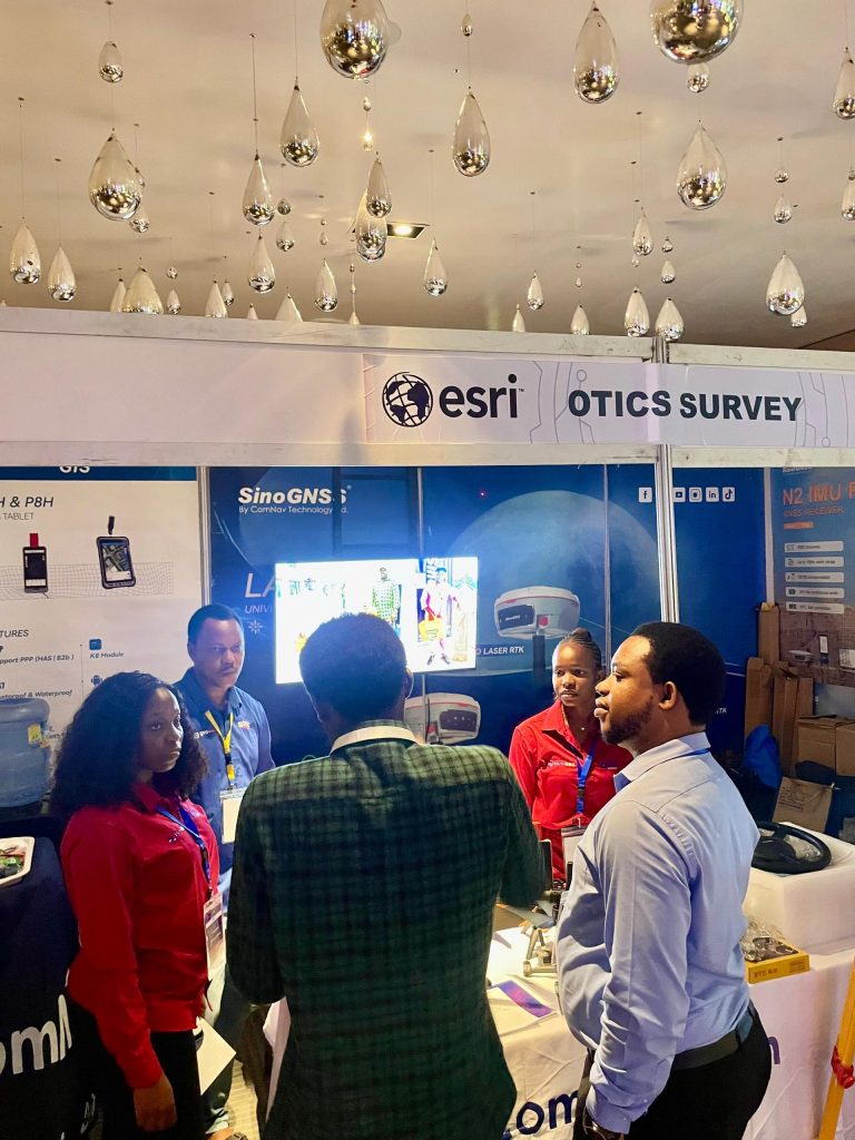
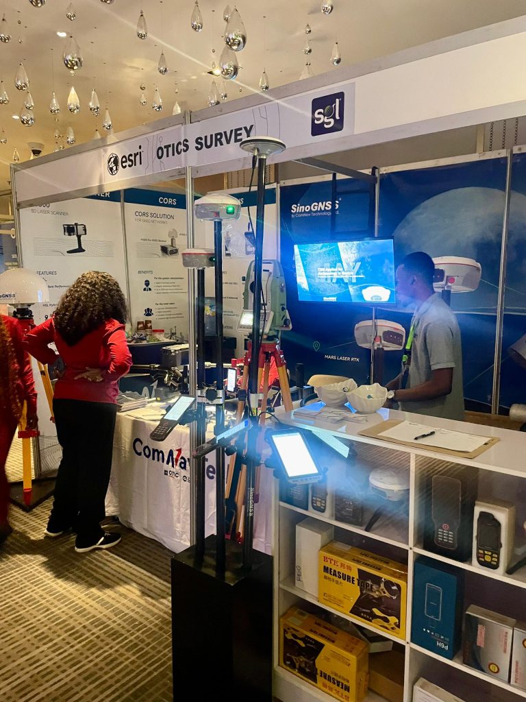
What We Showcased
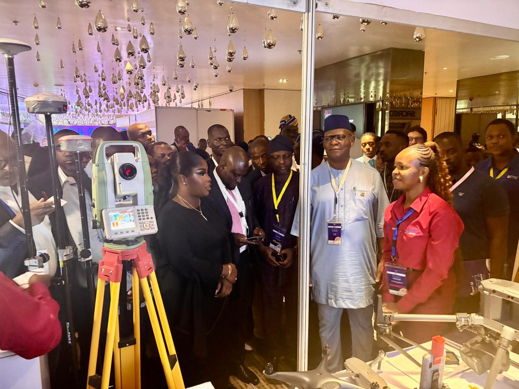
At our stand, participants had the chance to interact with a variety of technologies and solutions that Otic Surveys is known for:
- Modern Surveying Equipment: GNSS receivers, drones, and advanced total stations that make fieldwork faster, easier, and more reliable. Visitors were particularly interested in how these tools improve accuracy while reducing project timelines.
- GIS Integration: We demonstrated how our RTK tablets connect seamlessly to mobile GIS software such as ESRI Field Maps, Survey123, and QGIS mobile. This workflow transforms the accuracy of field data collection, achieving up to 2 cm accuracy with CORS and around 10 cm accuracy with PPP. Alongside this, we also exhibited our CORS antenna, underscoring the fact that Otic Surveys continues to maintain its position as the company with the highest number of installed and working CORS in Nigeria.
- 3D Scanning Technology: Our 3D scanner drew significant attention from professionals keen on advanced reality capture for engineering, construction, and infrastructure projects. Many were impressed by its ability to deliver detailed models for analysis and planning.
- M350 Drone & Zenmuse L2 LiDAR Payload: A major highlight at our booth was the DJI Matrice 350 drone paired with the Zenmuse L2 LiDAR payload. Attendees were captivated by its ability to capture dense point clouds, enabling highly accurate terrain mapping and corridor surveys. The combination sparked conversations on how LiDAR is shaping the future of large-scale surveying in West Africa.
- End-to-End Project Solutions: From cadastral mapping to hydrographic surveys and land management, we shared our expertise in supporting critical development projects.
- Training & Support: We emphasized our commitment to building capacity, equipping surveyors and organizations with the skills to maximize these modern tools.
Highlight: Our Autosteering System
This year, we also exhibited our Autosteering System, designed to transform agricultural operations by enabling tractors and machinery to move along defined straight or curved paths with minimal overlap and wastage.
While we did not conduct a live demo at the conference, discussions around autosteering sparked interest from attendees who wanted to understand how it reduces operator fatigue, saves time, and boosts productivity in farming.
Our Experience at the Conference
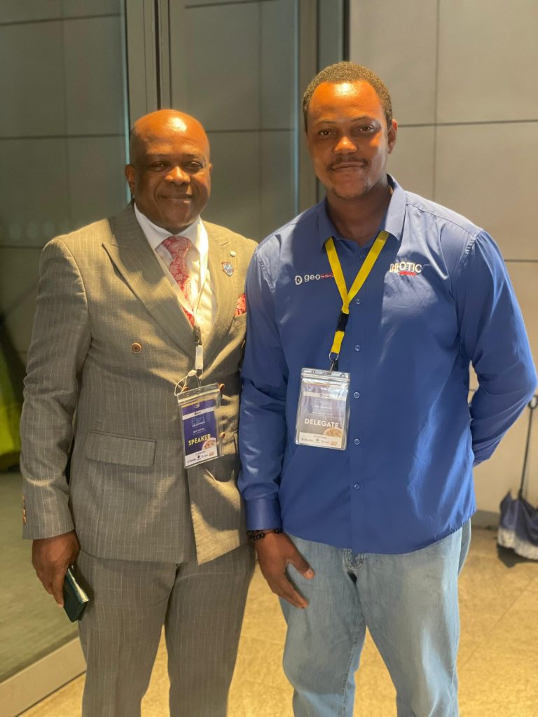
The ESRI User West Africa Conference was more than an event for us, it was an enriching experience. We had a great time connecting with industry leaders, government agencies, private organizations, and young professionals who share our passion for geospatial innovation.
The conversations at our booth highlighted the growing demand for reliable geospatial solutions in West Africa, from land administration and infrastructure development to agriculture, reality capture, and environmental monitoring. These interactions not only affirmed our commitment to providing cutting-edge solutions but also opened doors to new partnerships and collaborations.
We are particularly glad about the meaningful connections we made throughout the event. Each interaction reinforced the importance of building a stronger geospatial community where knowledge, tools, and ideas are shared for collective growth.
Looking Ahead
As we reflect on our participation, Otic Surveys remains committed to driving the adoption of modern geospatial technologies in Nigeria and West Africa. Our exhibition at the ESRI User Conference was a step forward in showcasing what is possible when expertise meets innovation.
We extend our sincere appreciation to everyone who visited our stand, engaged in conversations, and shared ideas with us. We look forward to continuing these discussions and working together to transform data into actionable solutions that power development across the region.