Mapping Your World with Accuracy & Precision
From land, hydrographic, pipeline, and as-built surveys to 3D laser scanning, drone mapping, and GIS solutions, we deliver accurate spatial data and 3D models to drive smarter design, construction, and infrastructure decisions.
About Us
OTIC Surveys is a geospatial surveying and mapping company delivering reliable survey services for land, infrastructure, and environmental projects. We combine experienced survey professionals with modern equipment and digital workflows to support accurate planning, construction, and development.
Our Vision
To be the No.1 Geospatial Solutions Company in Africa
Our Mission
To provide solutions to the problems of our customers everyday by being reliable and knowledgeable
Our Clients
Trusted by leading organizations worldwide


Our Services
Comprehensive geospatial solutions tailored to your specific needs
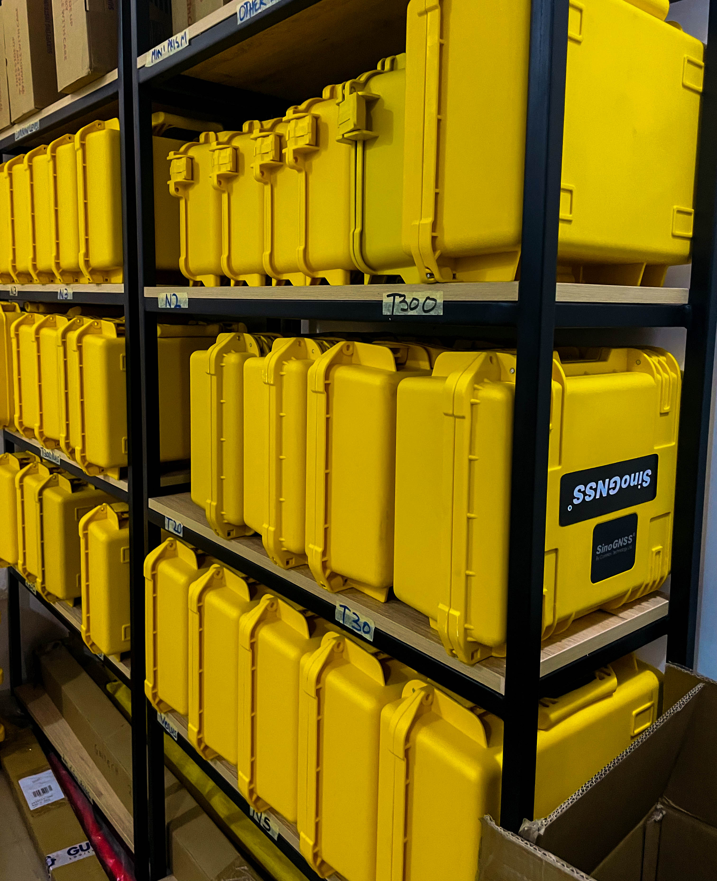
Equipment Sales
Supply of professional surveying, GNSS, drone, and mapping equipment backed by expert guidance, setup support, and after-sales service.
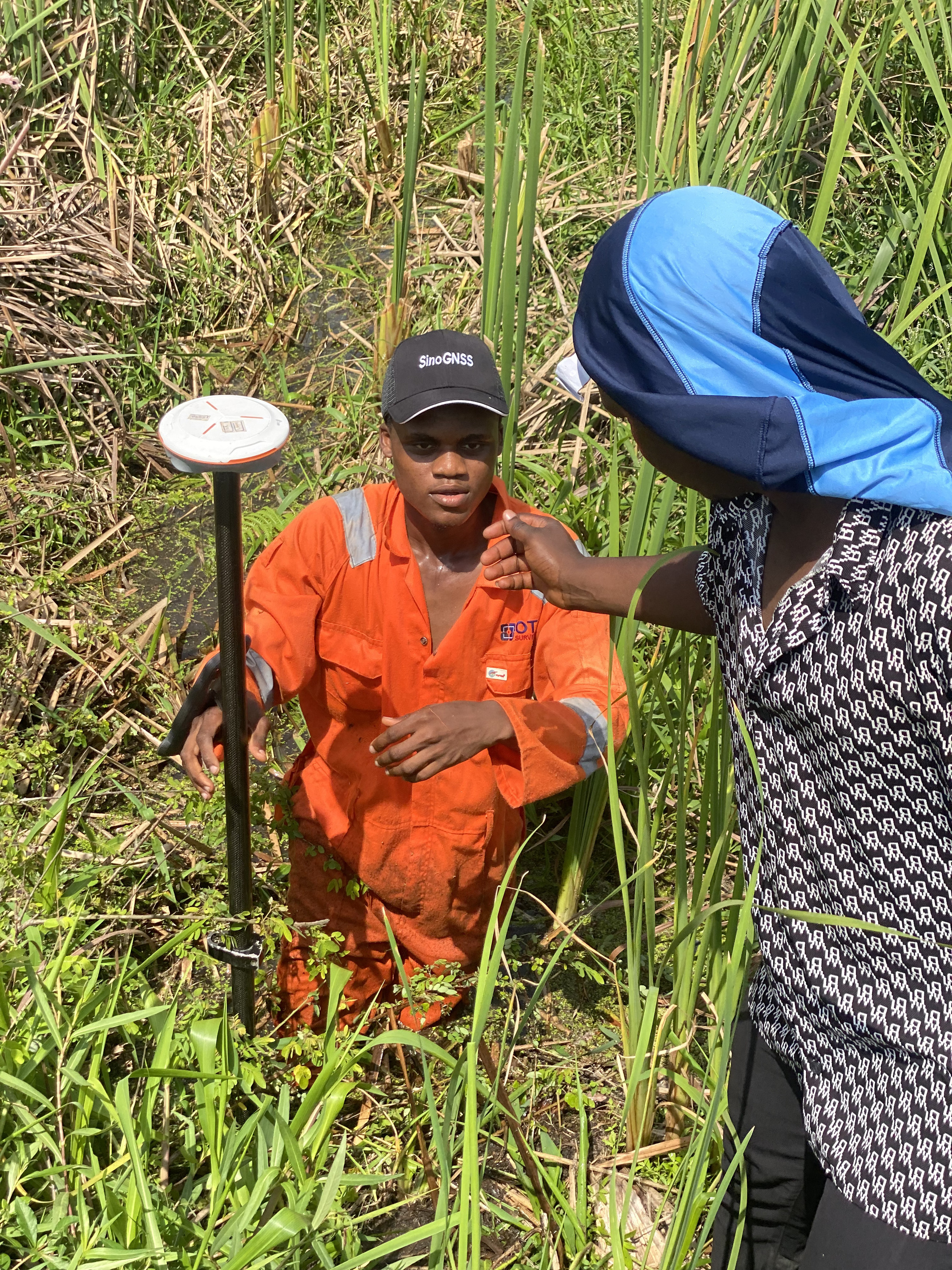
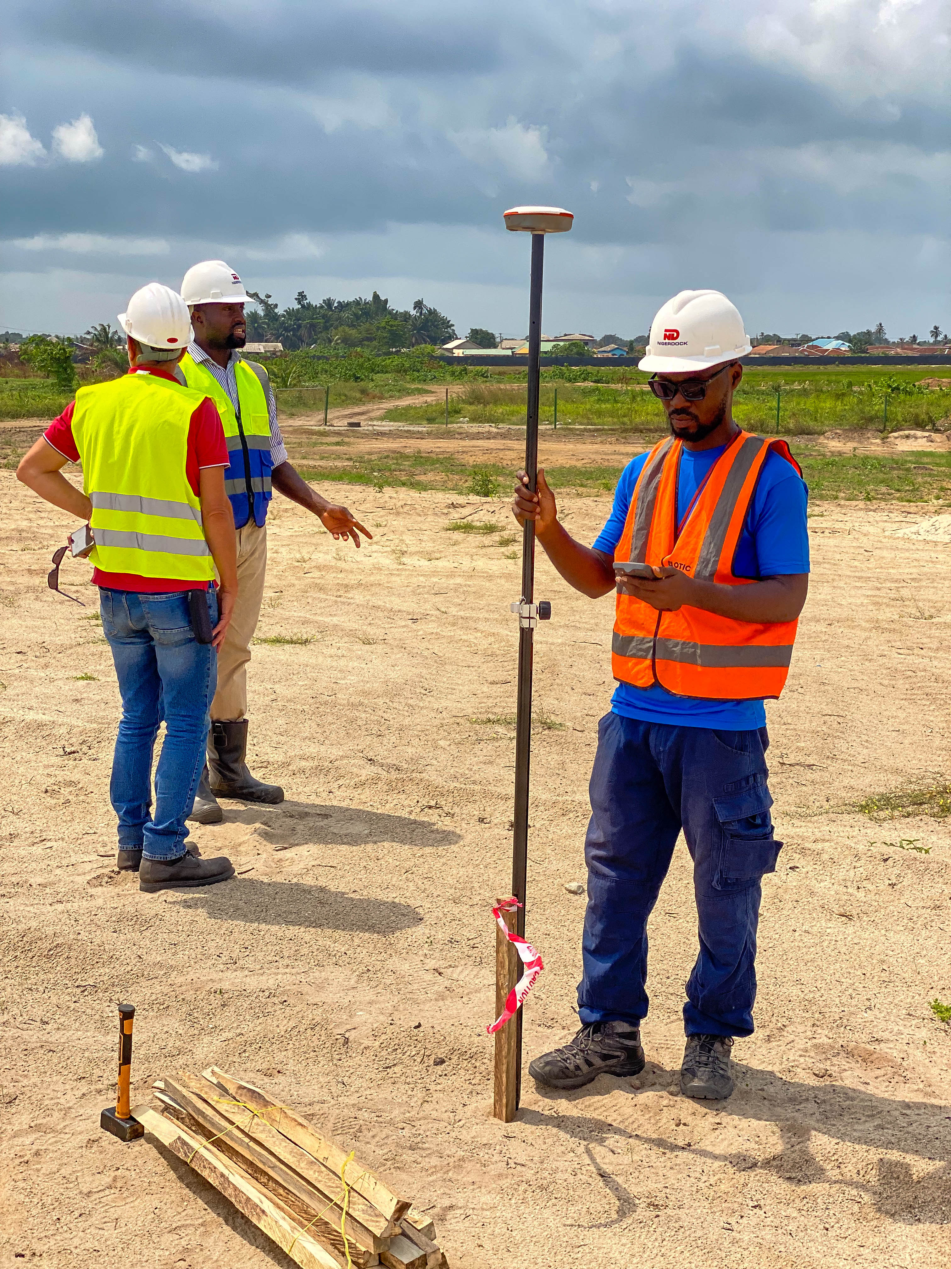
Land Survey / Cadastral Survey
Accurate boundary identification and documentation for land ownership, title processing, and dispute resolution, carried out by licensed surveyors.

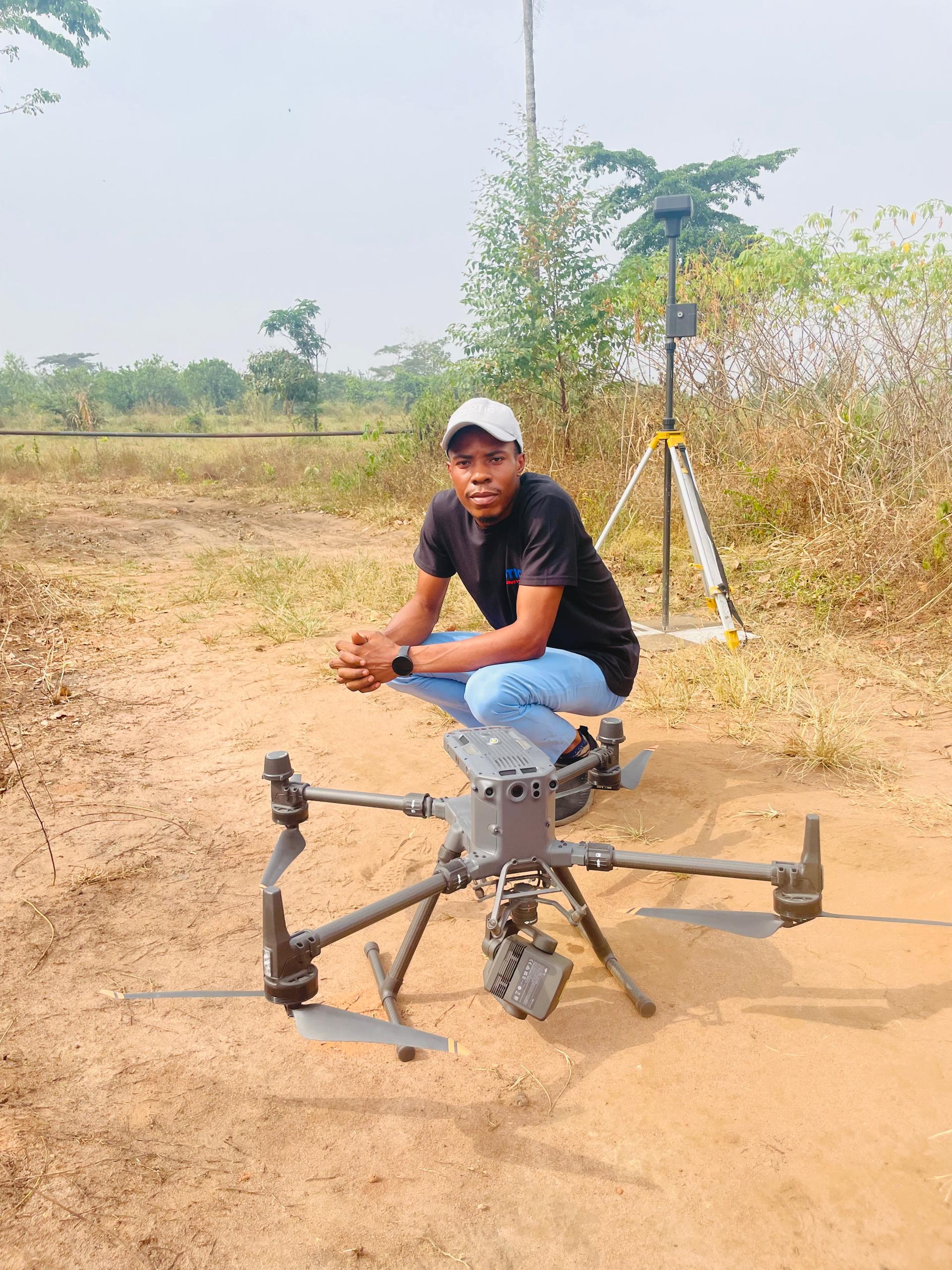
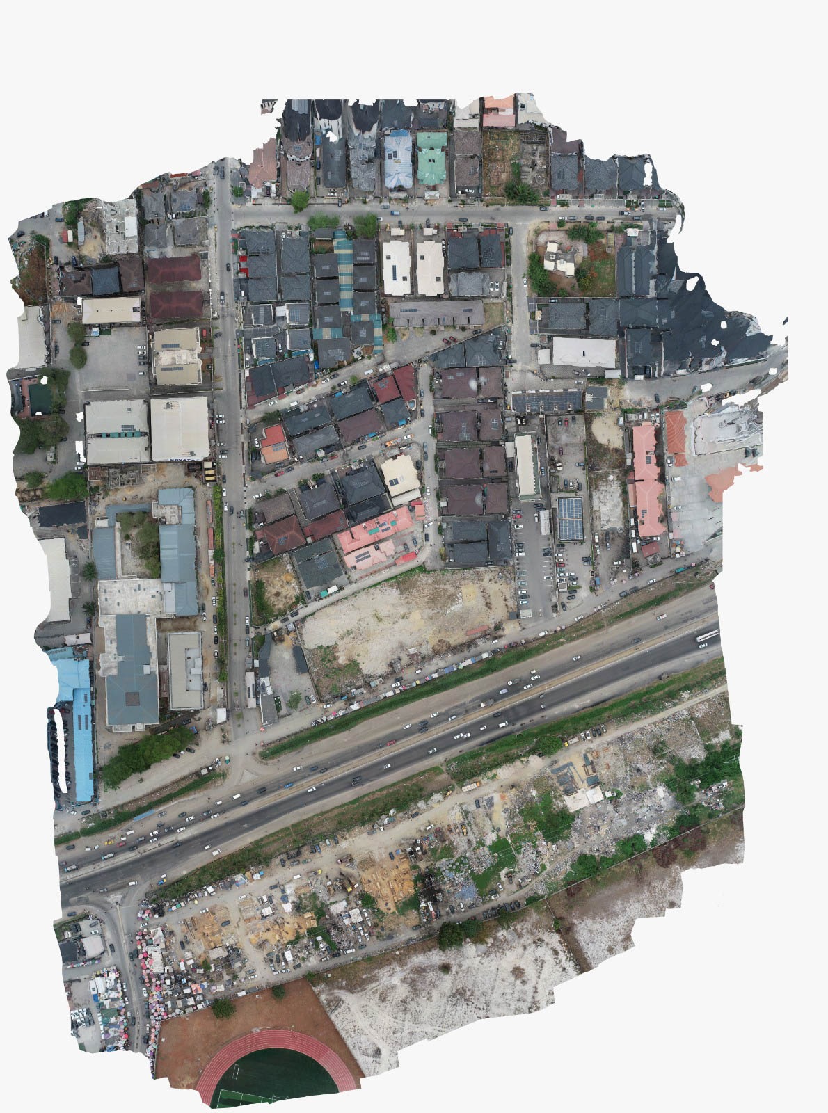
Drone / Aerial Survey
Aerial data capture using survey-grade drones to deliver detailed site imagery and surface models for large, complex, or hard-to-access areas.
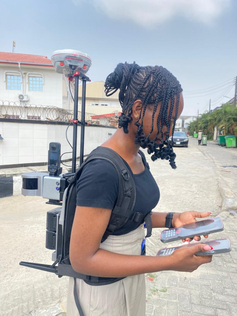
Remote Sensing and Mapping Services
Production of reliable digital maps and GIS datasets to support planning, land administration, and infrastructure development.
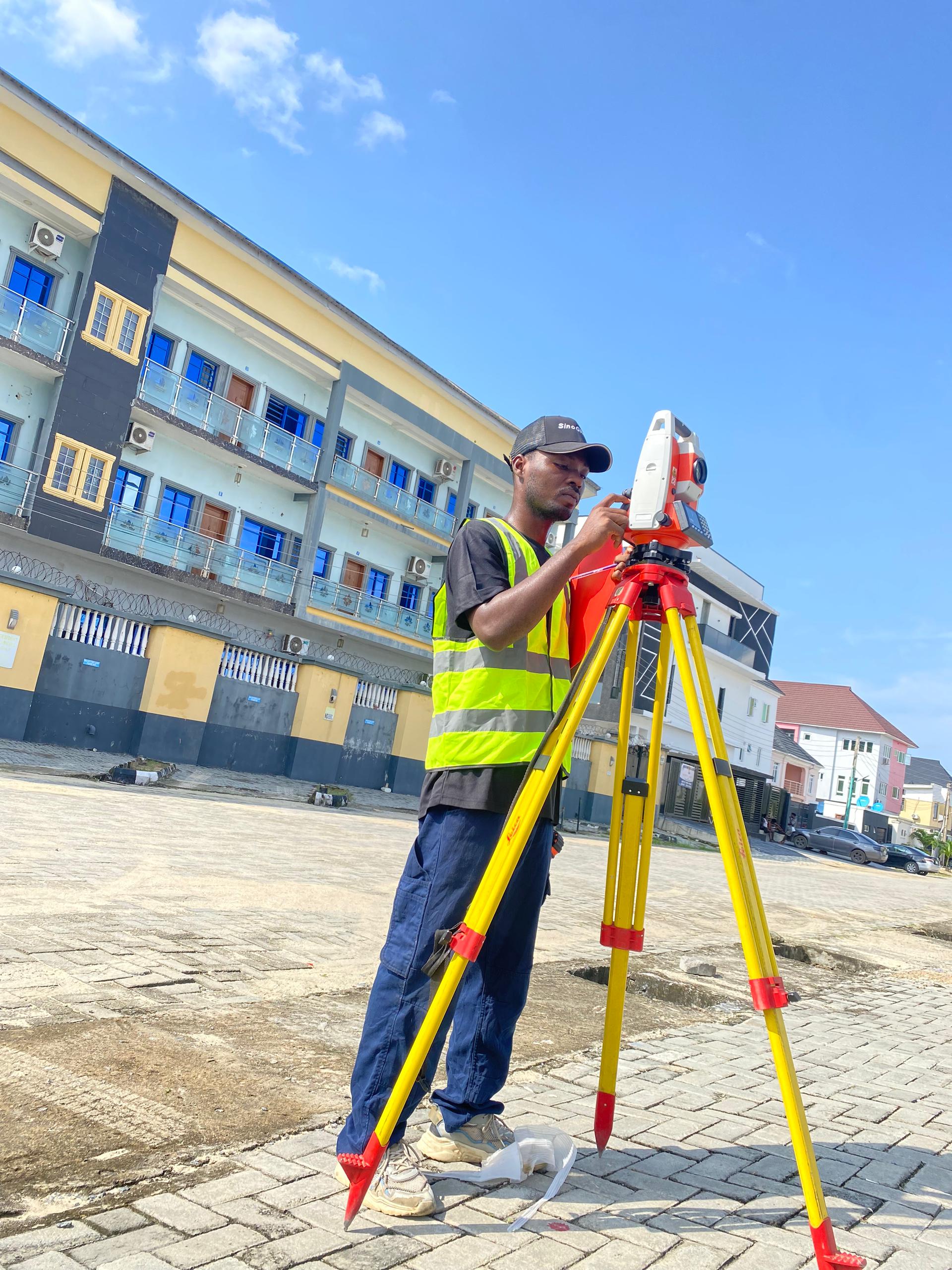
Topographic Survey
Detailed ground and terrain measurement capturing natural and man-made features for engineering design, construction, and site analysis.
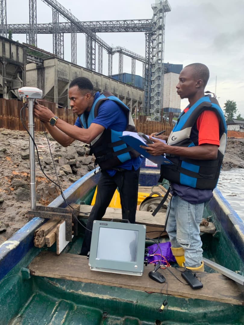
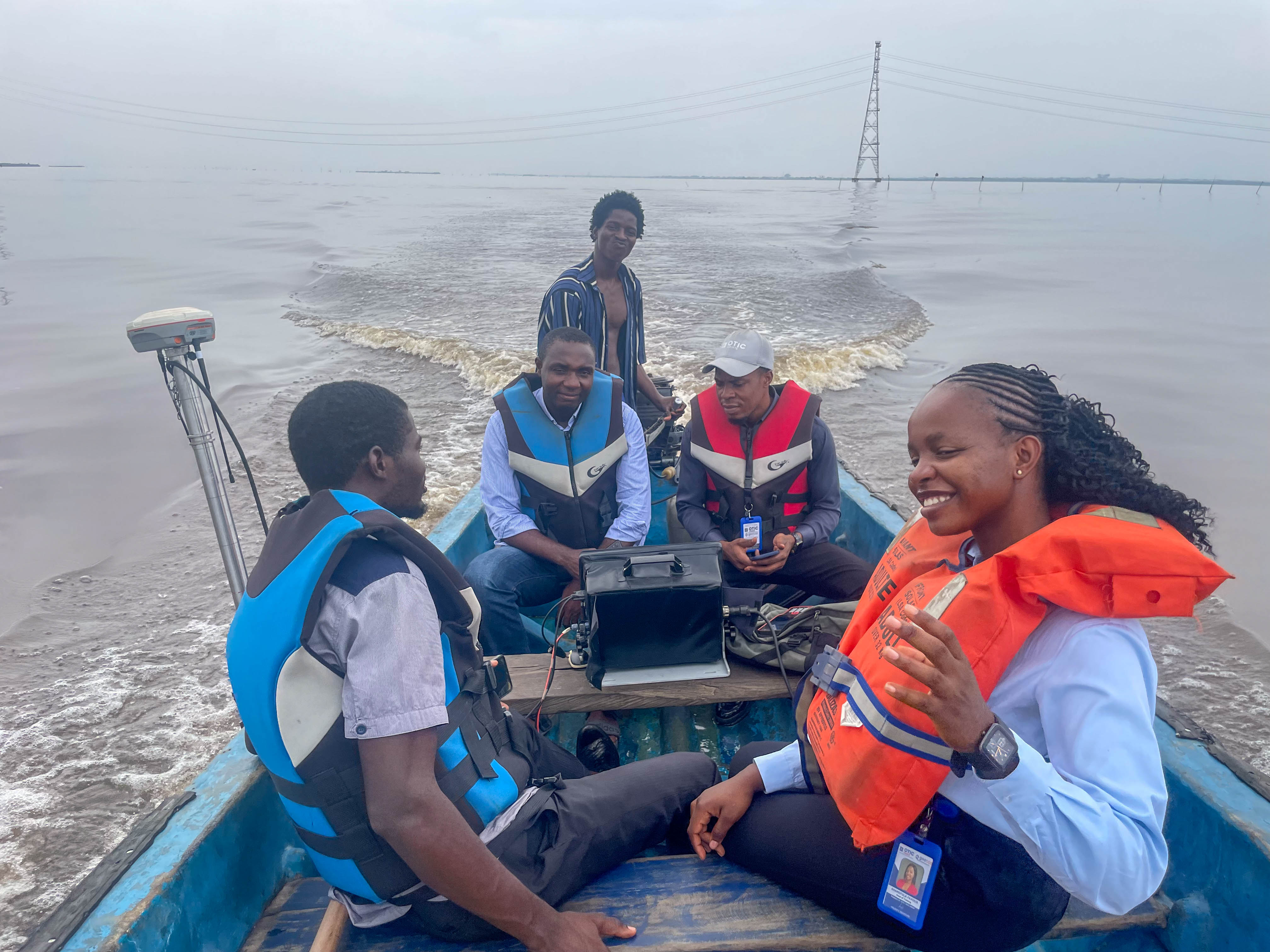
Hydrographic / Bathymetric Survey
Underwater depth and seabed surveys for waterways, dredging projects, marine construction, and water resource assessments.
Featured Projects
Explore our successful projects across various industries
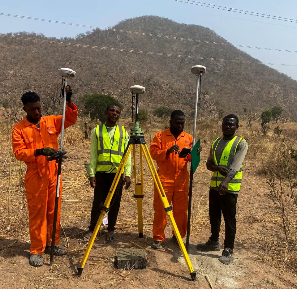
Route Survey for Road Construction, Taraba State.
Detailed route survey for road construction using advanced surveying technologies.
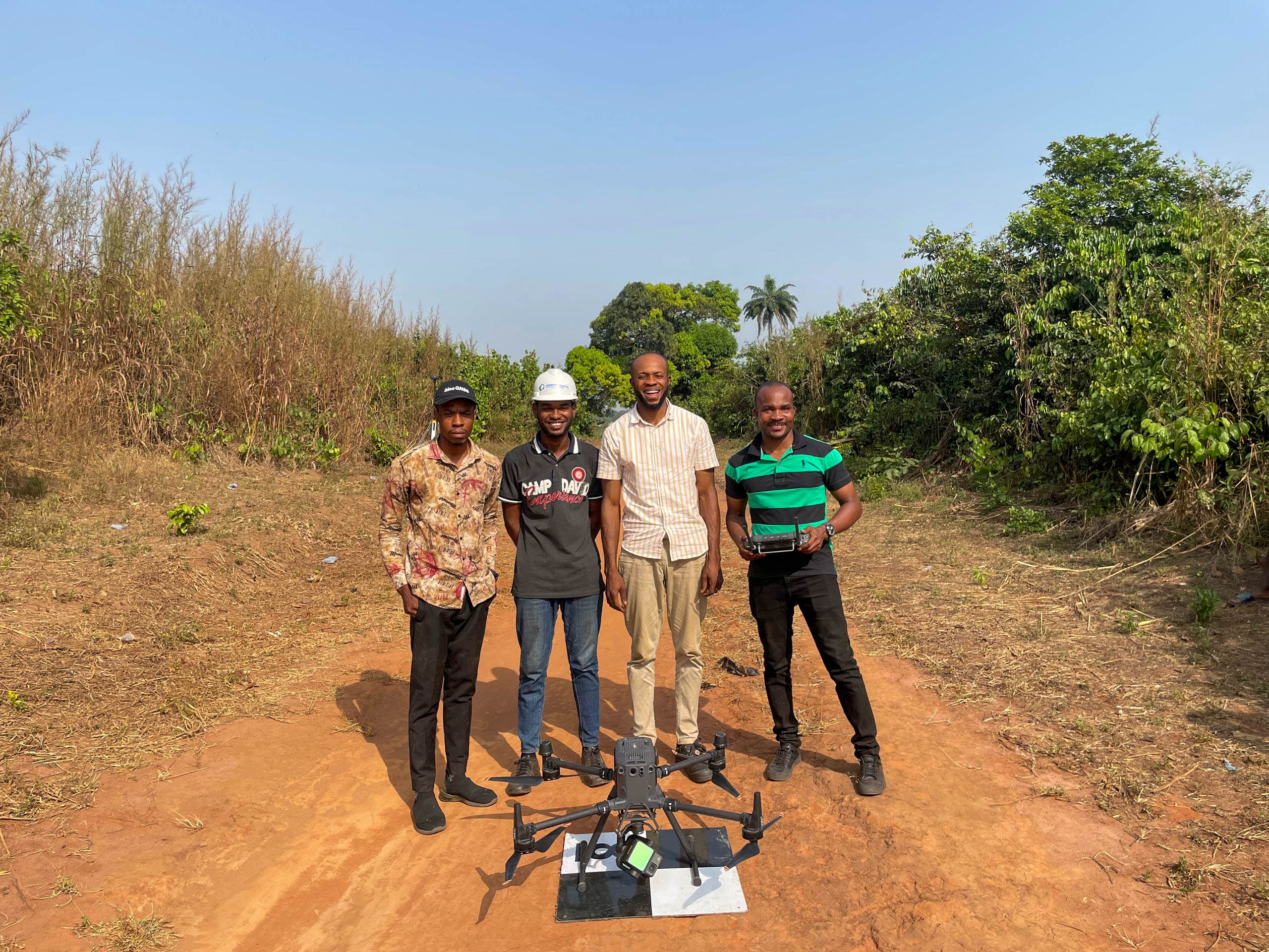
Topographic Survey of the Proposed Abia State Airport
High-resolution topographic survey using DGI M350 and L2 LiDAR.
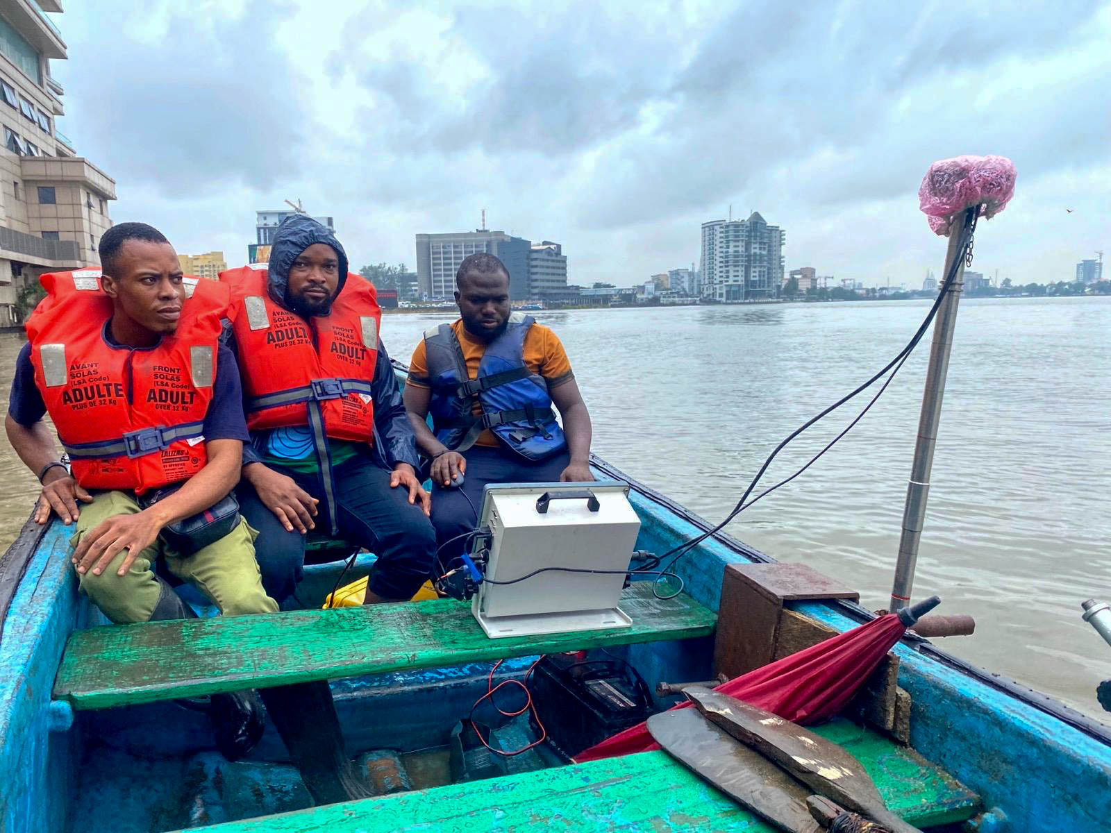
Bathymetric Survey at Ozumba Mbadiwe, Victoria Island - Prof Tower
High-resolution bathymetric survey using advanced sonar systems
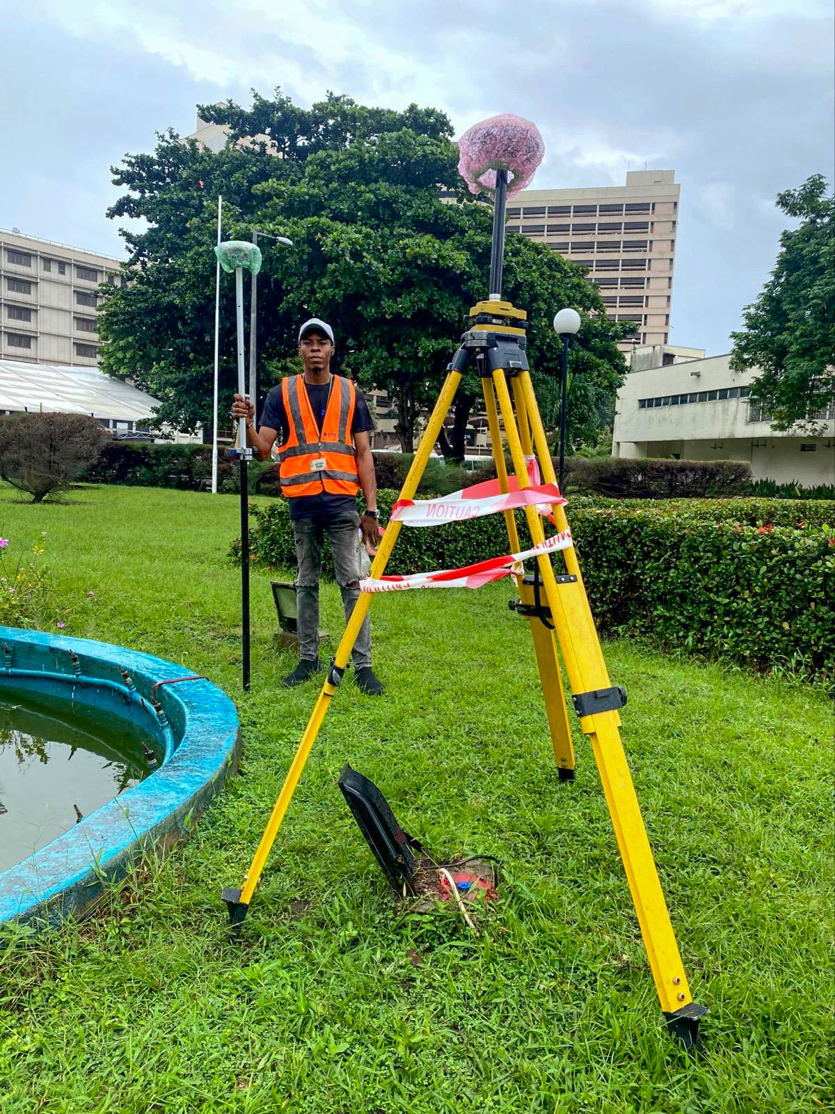
Topographic Survey at Federal Palace - Victoria Island
High-resolution topographic survey using GNSS, Total Station, and drone.