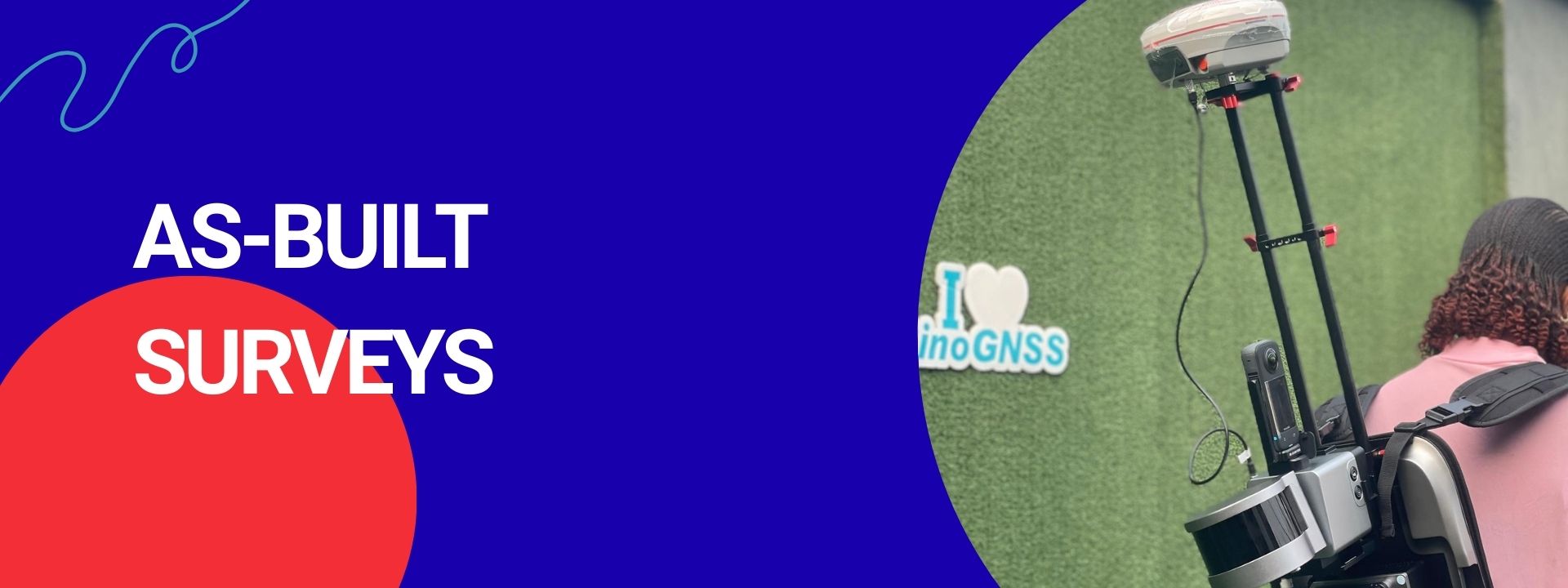
Overview
Production of as-built survey data to document completed structures and infrastructure, verifying compliance with design specifications.
Details & Methodology
Years Experience
Projects Completed
Expert Surveyors
Related Services
Topographic Survey
Detailed ground and terrain measurement capturing natural and man-made features for engineering design, construction, and site analysis.
View Service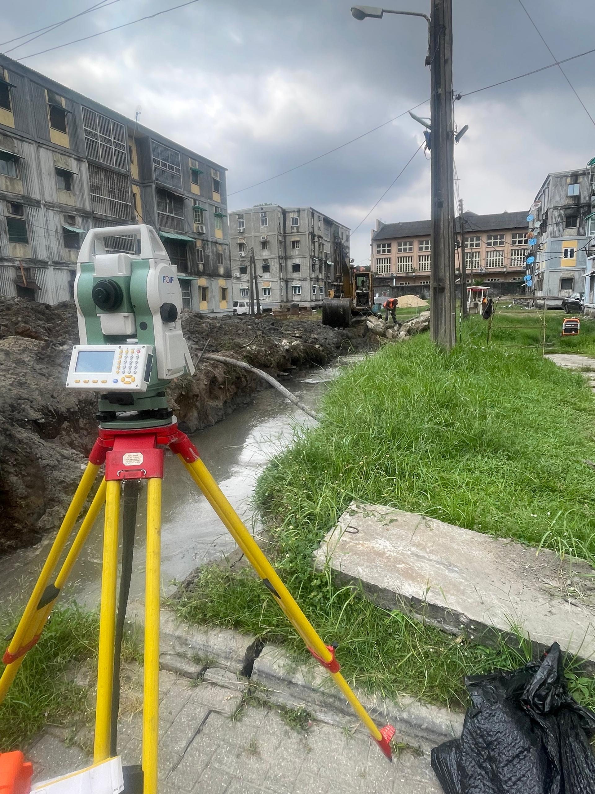
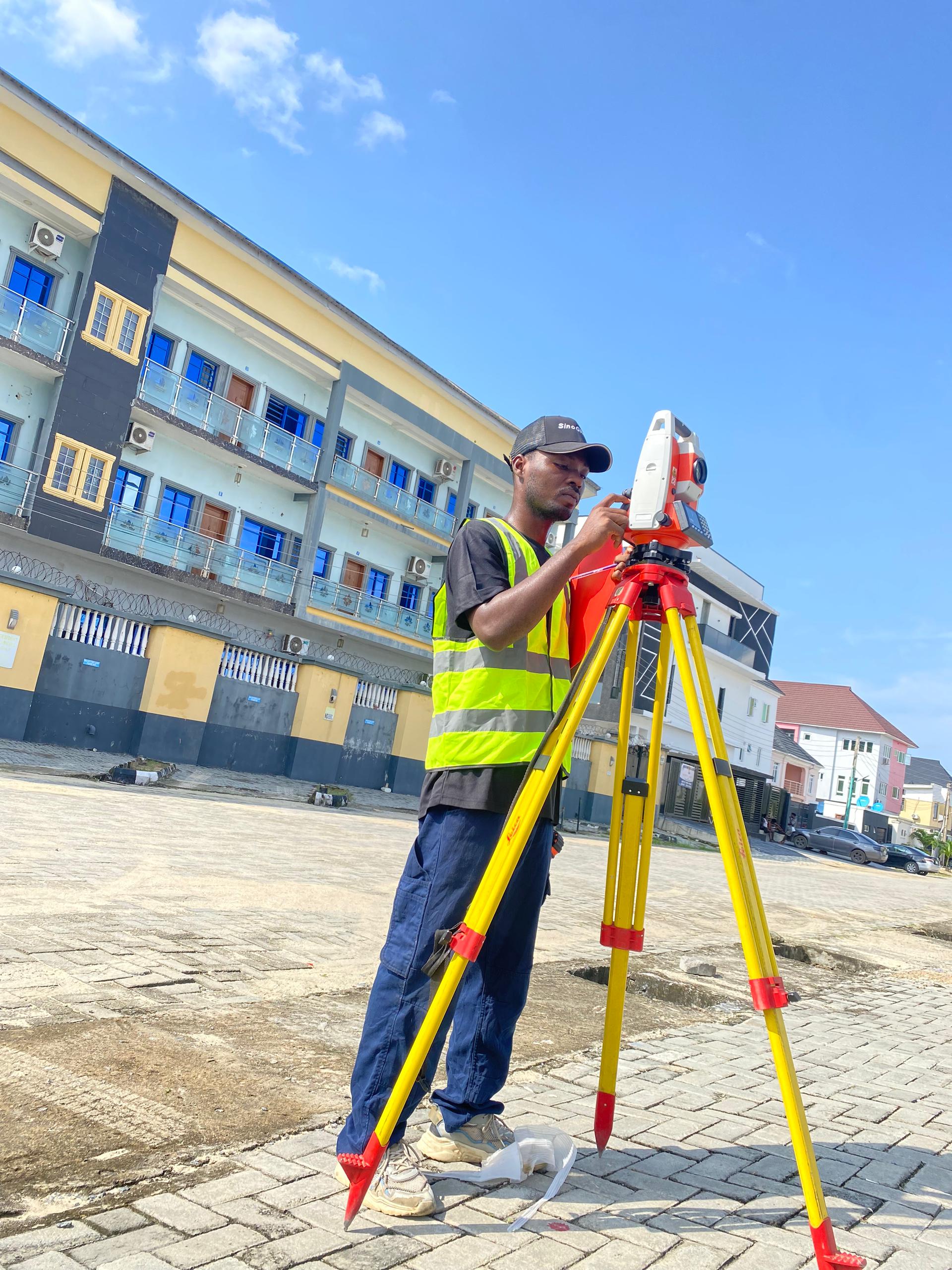
Setting-Out Surveys
Production of setting-out survey data to accurately transfer design coordinates and plans from drawings to the field for construction projects.
View Service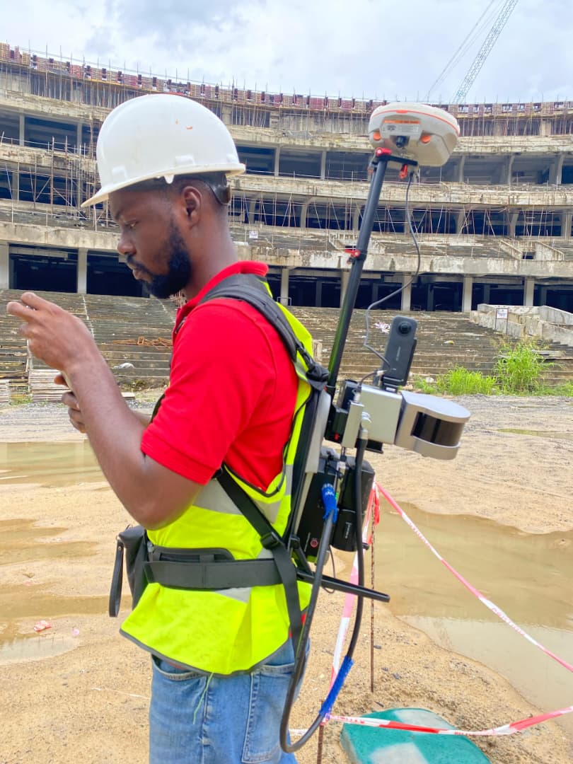
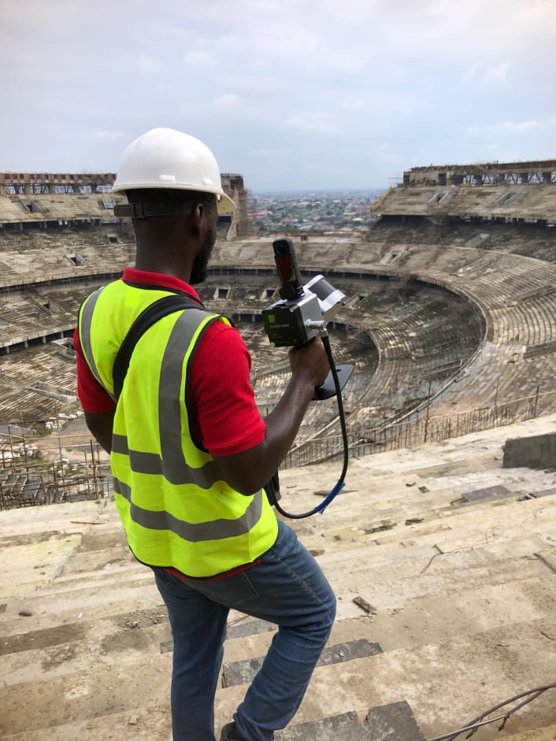
3D Laser Scanning
Production of high-resolution 3D laser scanning data to capture precise digital representations of buildings, infrastructure, and terrain.
View ServiceWhy Choose Us
Delivering excellence through innovation, experience, and dedication.
Client Stories
Frequently Asked Questions
Turnaround times vary by project scope. For standard residential topographic surveys, we typically deliver within 3-5 business days. Larger infrastructure projects are scheduled according to the project master plan.
Yes, absolutely. All our lead surveyors and engineers are fully licensed, and our firm carries comprehensive liability insurance to ensure complete peace of mind for our clients.
Yes. We utilize modern geospatial and survey technologies including RTK GNSS systems, total stations, terrestrial laser scanners, LiDAR-equipped drones, echo sounders, side scan sonars, and unmanned surface vessels (USVs). These tools allow us to collect reliable spatial and hydrographic data for land, aerial, and water-based survey applications in line with project and regulatory requirements.
Yes. Our field teams are trained for challenging environments, from dense swamp forests to rugged rocky terrains. We have the specialized equipment to access and survey hard-to-reach locations.
You can request a quote by going to our 'Contact' page or emailing us directly with your project details and requirements. We typically respond with a preliminary estimate within 24 hours.