Our Services
Comprehensive geospatial solutions tailored to your specific needs
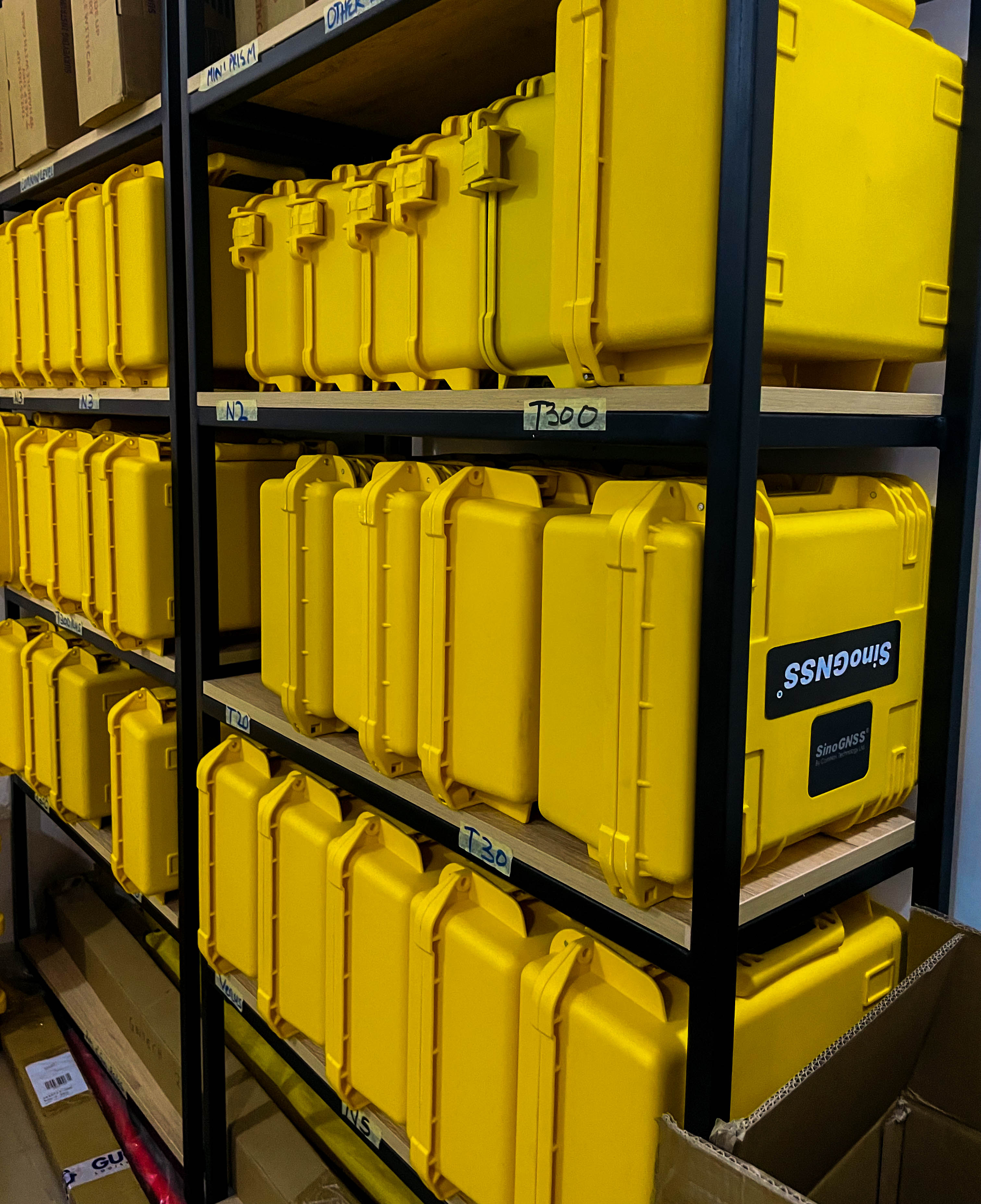
Equipment Sales
Supply of professional surveying, GNSS, drone, and mapping equipment backed by expert guidance, setup support, and after-sales service.
We supply a wide range of professional surveying, GNSS, drone, and mapping equipment, supported by expert guidance and technical assistance. Our team provides product recommendations, setup and calibration support, user orientation, and responsive after-sales service. The goal is to deliver high-quality, reliable equipment that improves accuracy, efficiency, and performance across all geospatial and field operations.
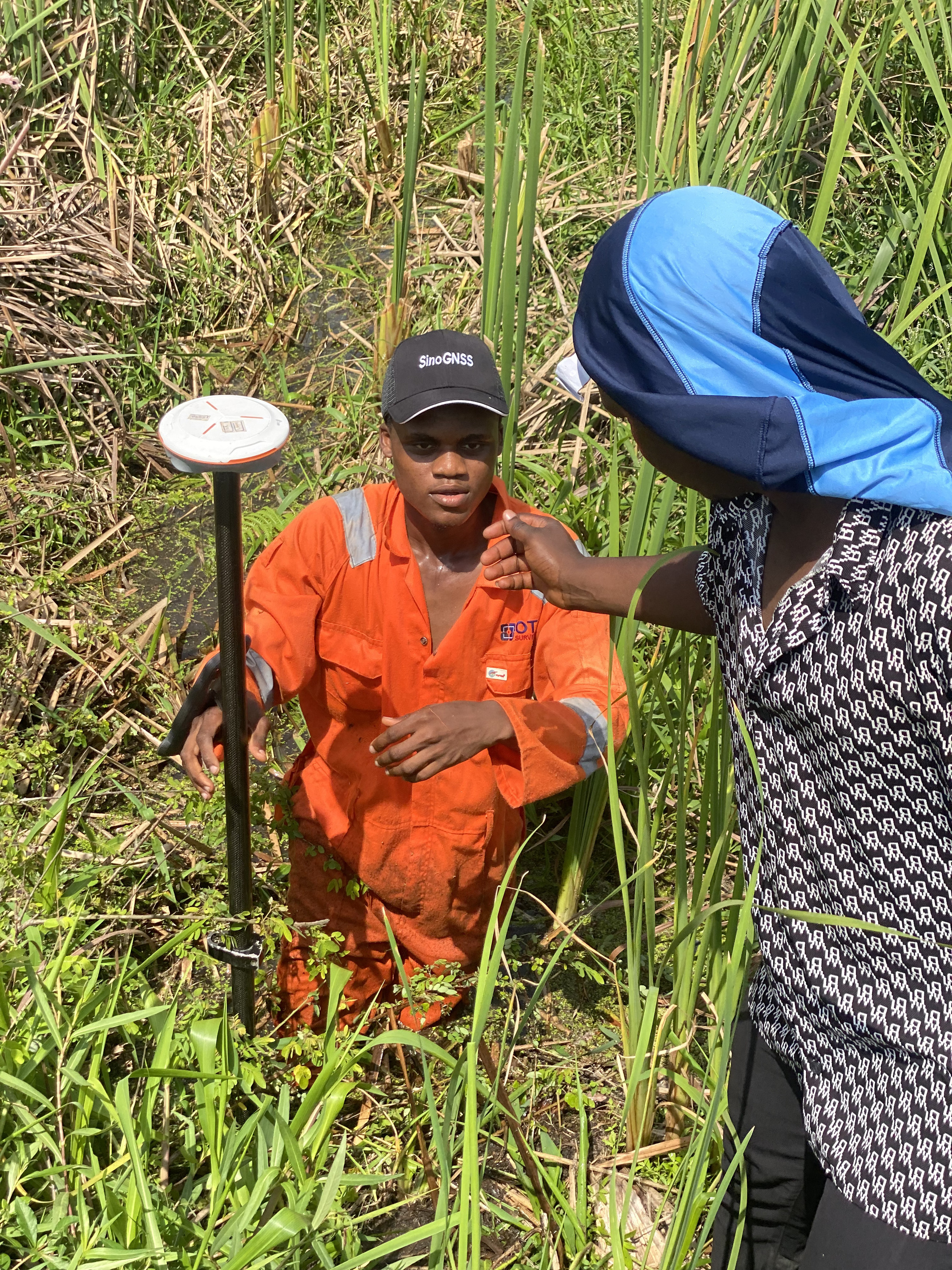
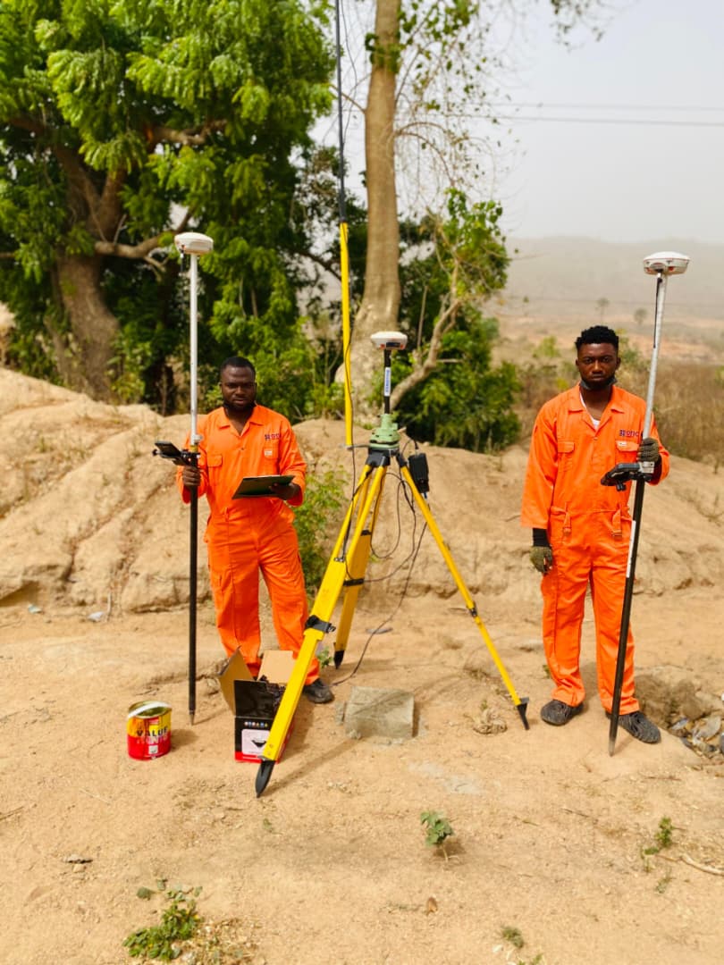
Land Survey / Cadastral Survey
Accurate boundary identification and documentation for land ownership, title processing, and dispute resolution, carried out by licensed surveyors.
We provide accurate boundary identification and comprehensive land documentation carried out by licensed surveyors. Our service includes precise measurements, clear mapping outputs, and professional survey reports used for land ownership verification, title processing, planning, development, and dispute resolution.

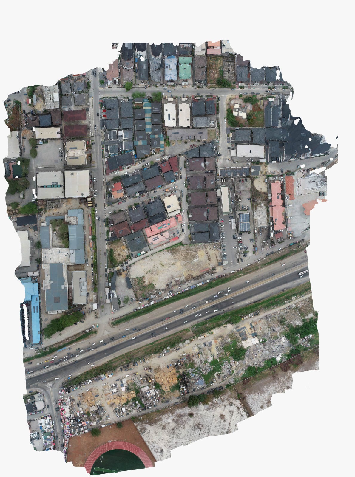
Drone / Aerial Survey
Aerial data capture using survey-grade drones to deliver detailed site imagery and surface models for large, complex, or hard-to-access areas.
We provide high-resolution aerial data capture using survey-grade drones, offering detailed site imagery, accurate terrain models, and precise measurements. Our drone survey service enhances project visibility and speeds up data collection for large, complex, or hard-to-access locations. We deliver processed geospatial outputs such as orthomosaic maps, 3D models, and elevation data.
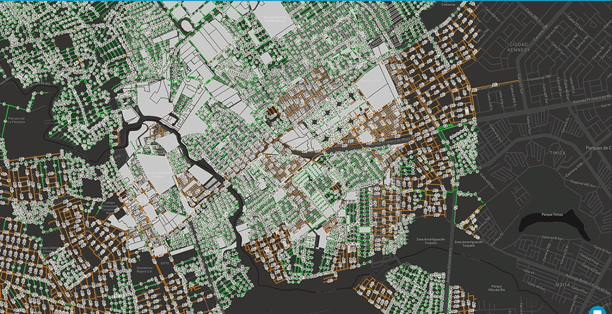
Remote Sensing and Mapping Services
Production of reliable digital maps and GIS datasets to support planning, land administration, and infrastructure development.
Production of accurate digital maps and comprehensive GIS datasets that support planning, land administration, and infrastructure development. This service delivers well-structured geospatial data, clear visual map outputs, and analytical layers that enhance decision-making for government agencies, private organizations, and project teams.
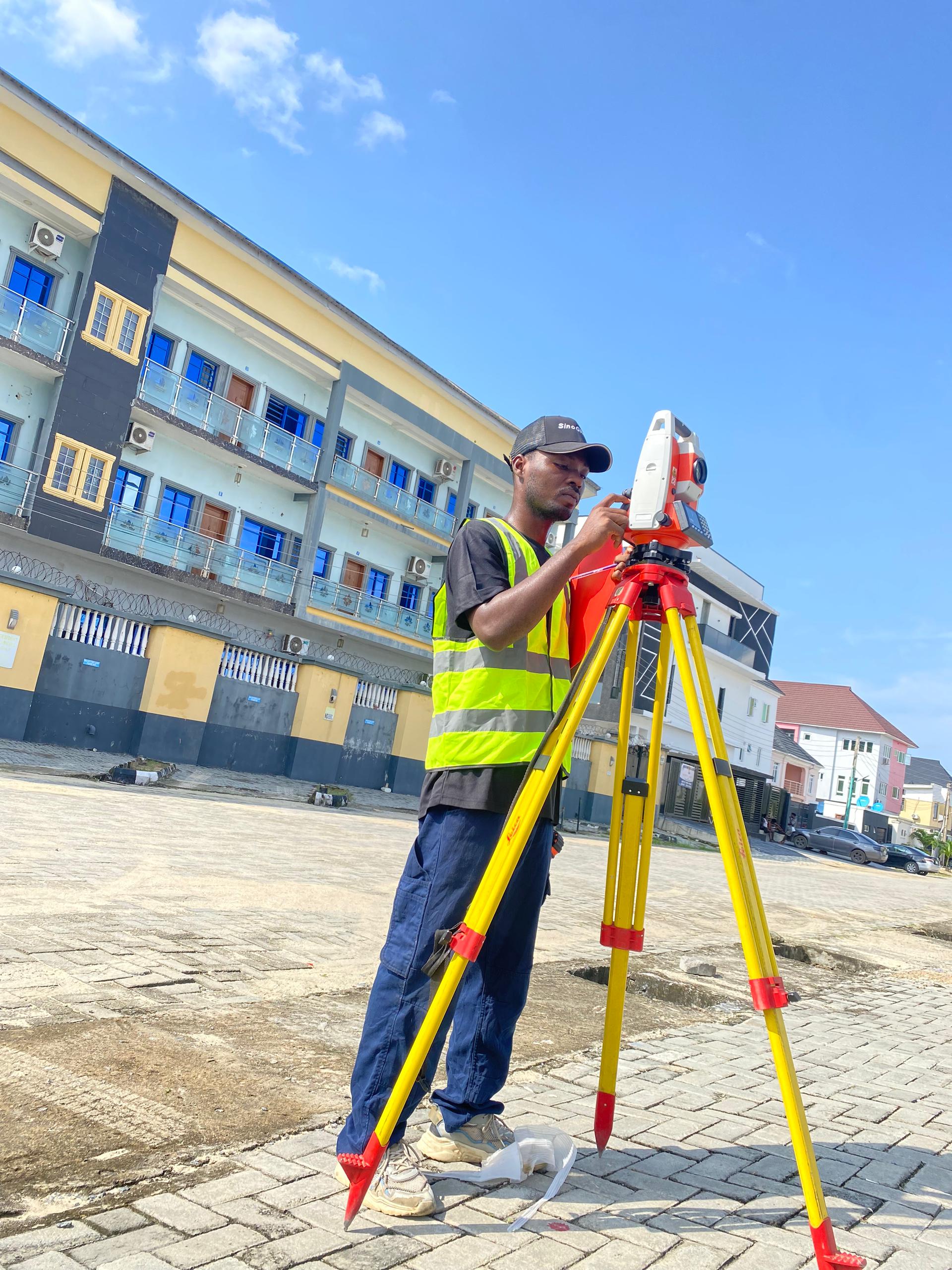
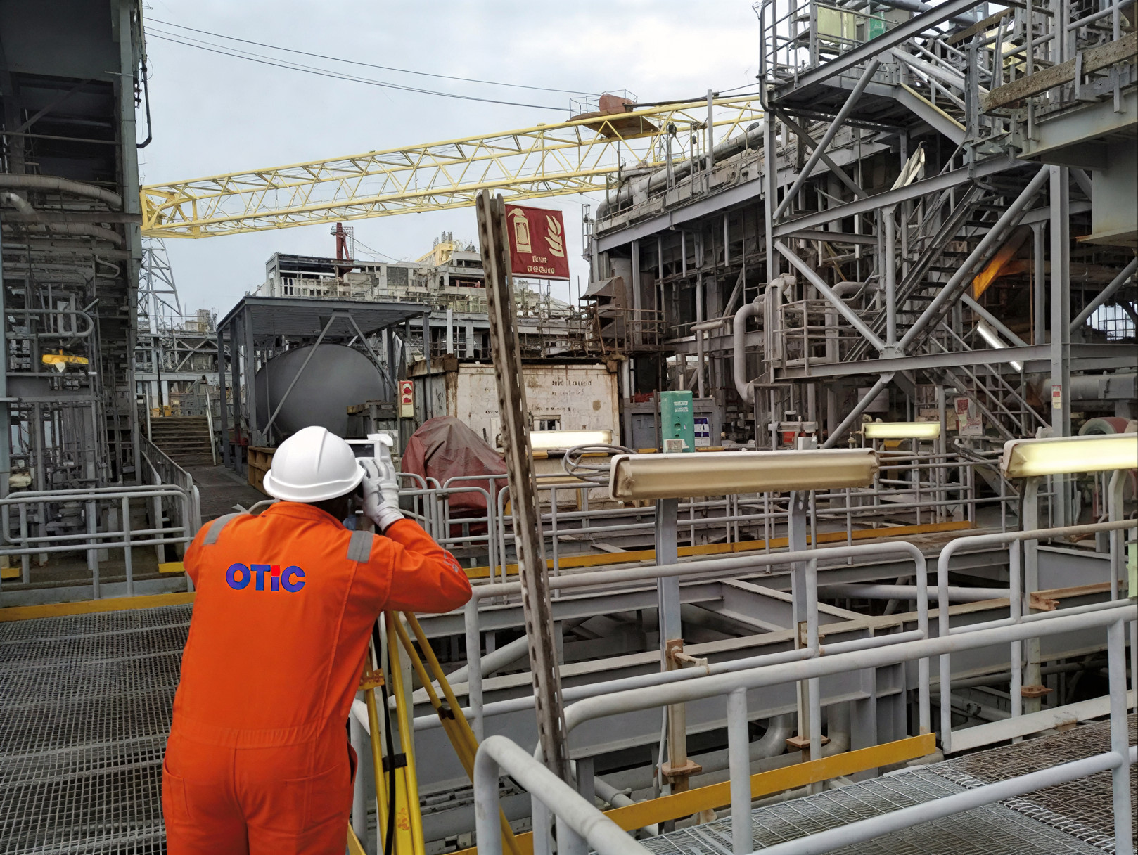
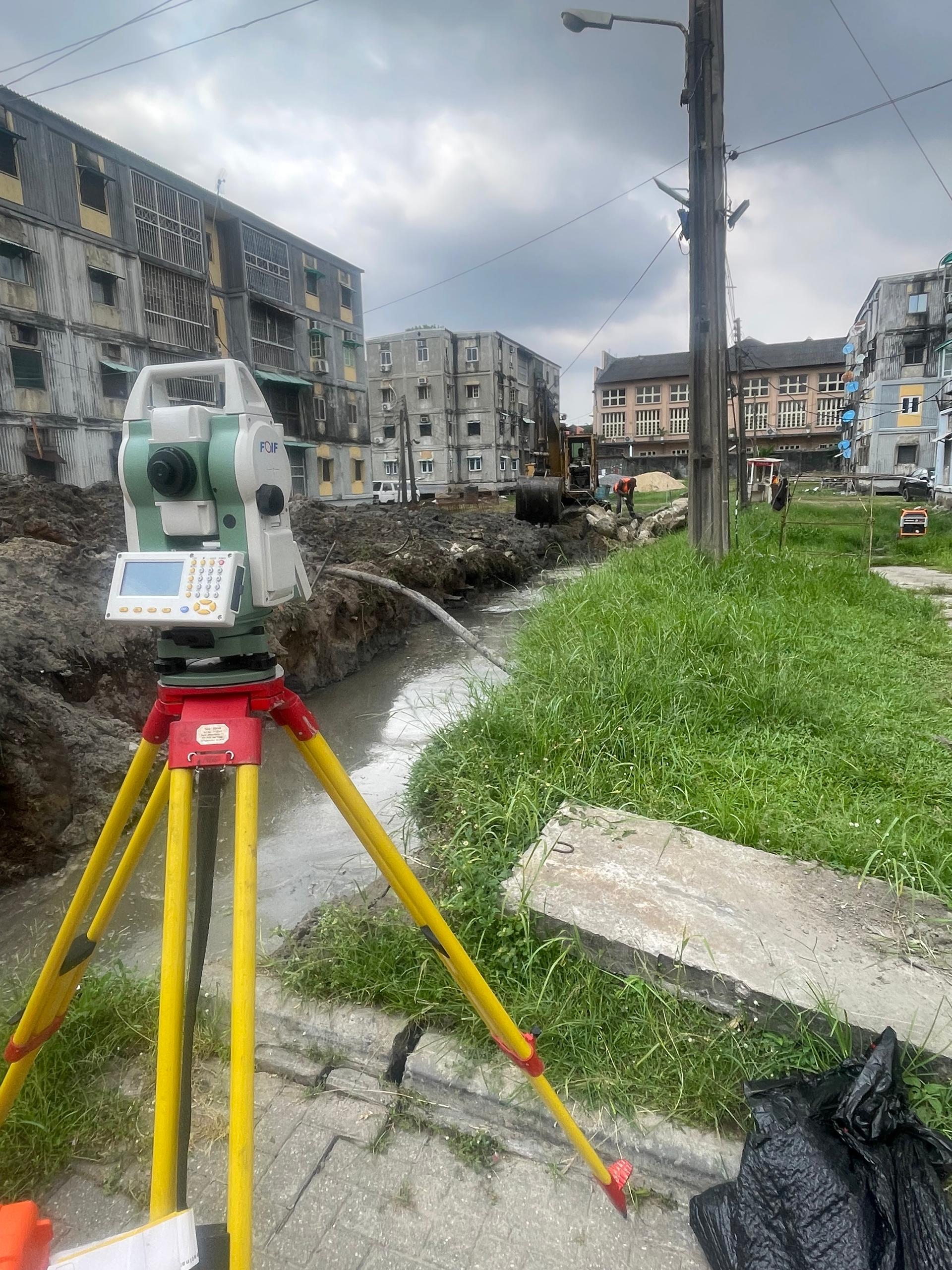
Topographic Survey
Detailed ground and terrain measurement capturing natural and man-made features for engineering design, construction, and site analysis.
Comprehensive surveying of terrain and site features, capturing every natural and man-made element with precision. This service produces detailed contour maps, 3D surface models, and accurate feature data that guide engineering designs, construction planning, and site analysis. By transforming raw field measurements into actionable geospatial insights, it ensures projects are executed efficiently.
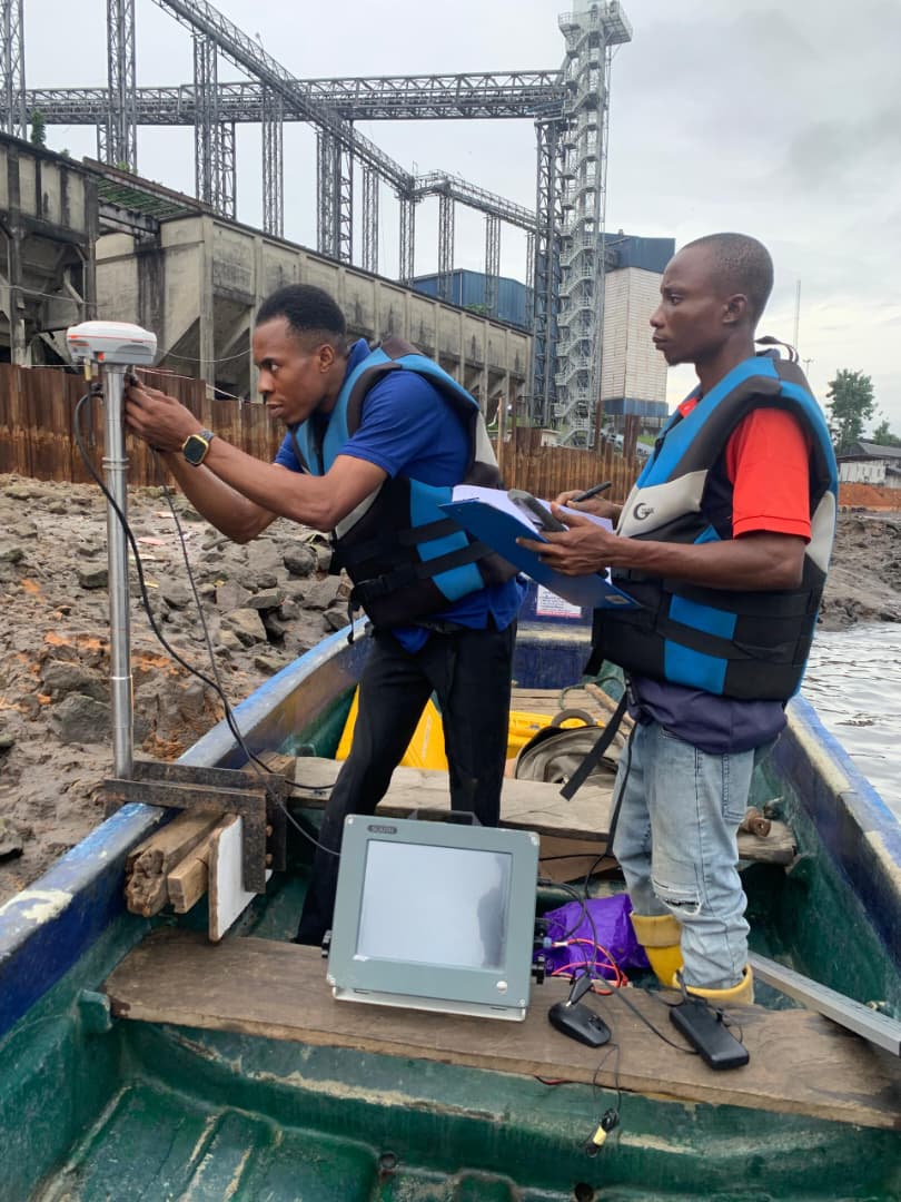
Hydrographic / Bathymetric Survey
Underwater depth and seabed surveys for waterways, dredging projects, marine construction, and water resource assessments.
Precision surveying of underwater environments, capturing depth, seabed features, and sub-surface conditions. This service delivers accurate data for waterways management, dredging operations, marine construction, and water resource assessments. By transforming complex underwater measurements into detailed maps and 3D models, it supports safe navigation and informed engineering decisions.
GIS & Spatial Data Analysis
Production of GIS and spatial data analysis outputs to transform raw geospatial information into actionable insights for planning, management, and decision-making.
This service delivers thematic maps, analytical layers, and GIS-ready datasets that support infrastructure development, environmental monitoring, and resource management. From integrating survey, aerial, and remote sensing data to spatial modeling and analysis, the outputs enhance project accuracy, improve documentation, and support informed decision-making.
Pipeline Surveys
Production of accurate survey data for planning, design, and monitoring of linear infrastructure such as oil, gas, water, and utility pipelines.
This service delivers route alignment, terrain mapping, and spatial datasets that ensure safe and efficient pipeline development. From corridor surveying to detailed topographic measurements, the outputs provide reliable spatial information that optimizes design, reduces construction risks, and supports regulatory compliance for pipeline projects.
As-Built Surveys
Production of as-built survey data to document completed structures and infrastructure, verifying compliance with design specifications.
This service delivers accurate survey plans, 3D models, and GIS-compatible datasets for project records, facility management, and future planning. From measuring deviations from design to producing detailed documentation, the outputs ensure reliable records that support construction verification, operational planning, and long-term
Route Surveys
Production of route survey data for roads, railways, pipelines, and utility corridors to capture alignment, terrain, and features along proposed or existing routes.
This service delivers accurate corridor maps, contour data, and CAD/GIS-compatible datasets that support engineering design, route optimization, and project planning. From feasibility studies to detailed corridor modeling, the outputs provide reliable information that minimizes risks, improves alignment decisions, and supports efficient project execution.
Setting-Out Surveys
Production of setting-out survey data to accurately transfer design coordinates and plans from drawings to the field for construction projects.
This service delivers precise site layouts, control points, and verification data that ensure alignment, levels, and dimensions are followed during execution. From building foundations to infrastructure works, the outputs reduce errors, rework, and delays while providing reliable spatial information to support project accuracy and compliance.
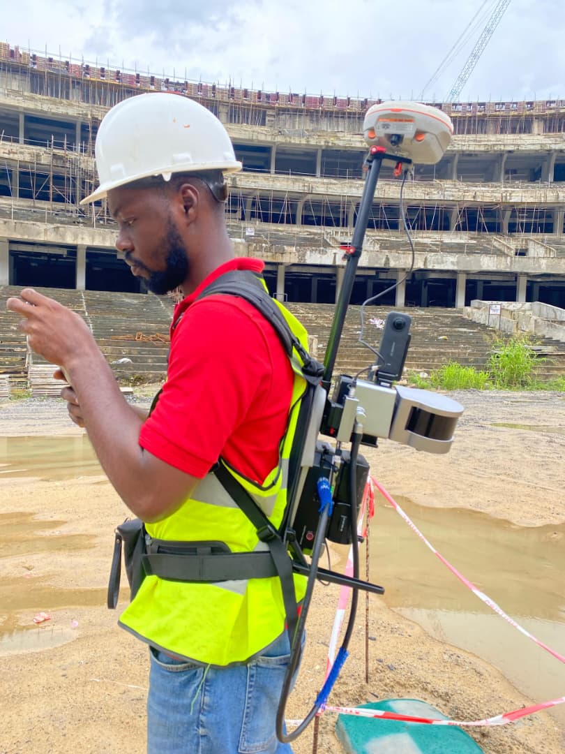
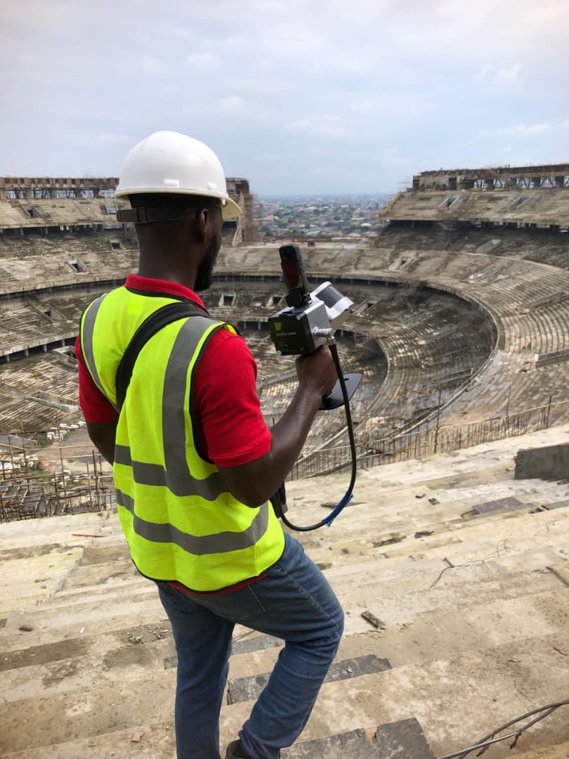
3D Laser Scanning
Production of high-resolution 3D laser scanning data to capture precise digital representations of buildings, infrastructure, and terrain.
This service delivers point clouds, 3D models, and CAD/BIM-ready datasets that support design, construction verification, and facility management. From complex structures to large-scale environments, the outputs provide accurate spatial information that enhances planning, documentation, and informed decision-making for engineering and construction projects.
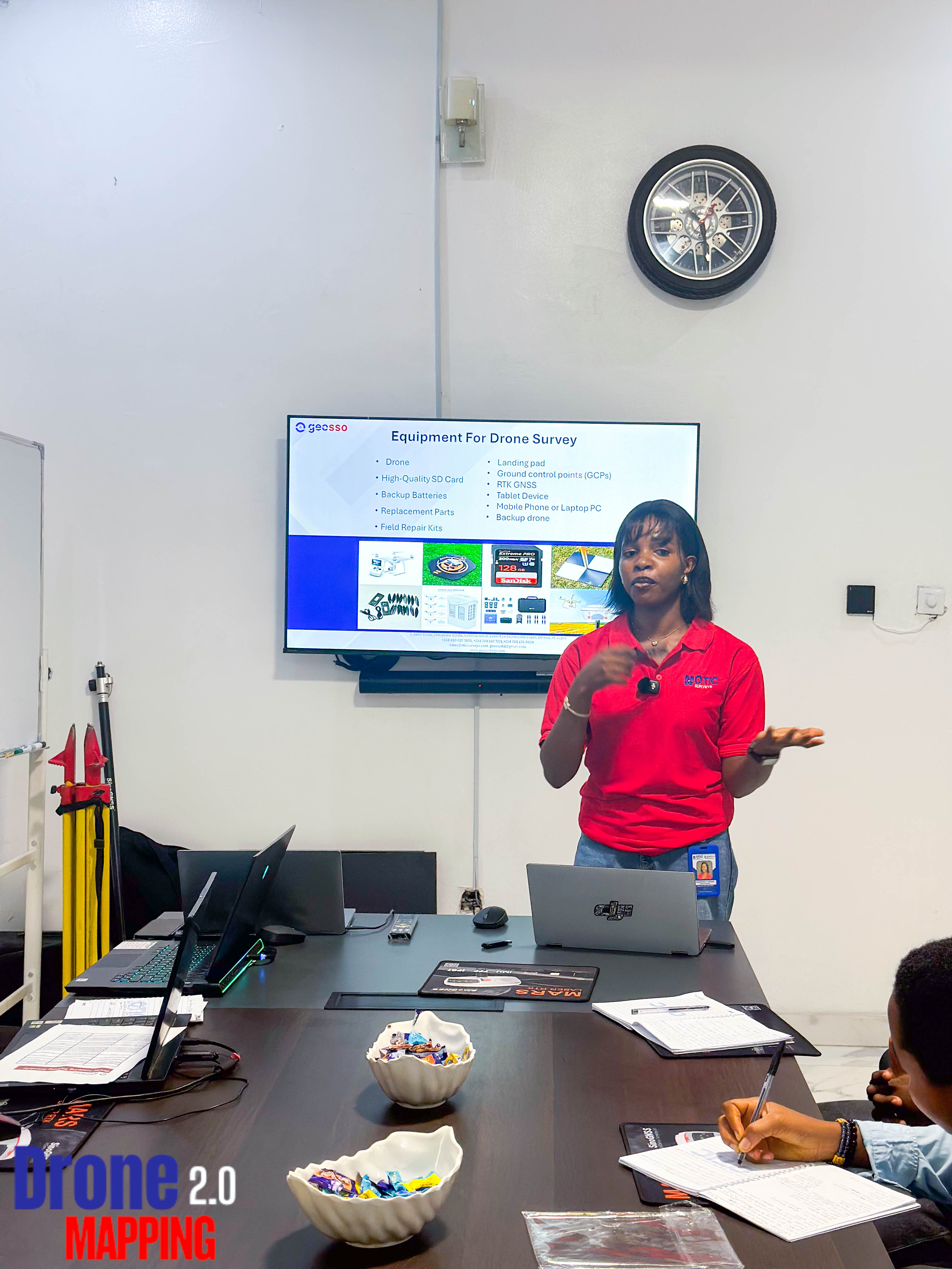
Professional Surveying & Geospatial Training
We offer training in GNSS surveying, total station surveying, drone mapping, 3D laser scanning, bathymetric surveying, AutoCAD, GIS, engineering surveying, and advanced LIDAR drone surveying.
Our programs equip participants with practical skills in field data collection, processing, and analysis, enabling accurate mapping, surveying, and geospatial solutions for engineering, construction, and infrastructure projects.