About Us
OTIC Surveys is a geospatial surveying and mapping company delivering reliable survey services for land, infrastructure, and environmental projects. We combine experienced survey professionals with modern equipment and digital workflows to support accurate planning, construction, and development.
Equipment Sales
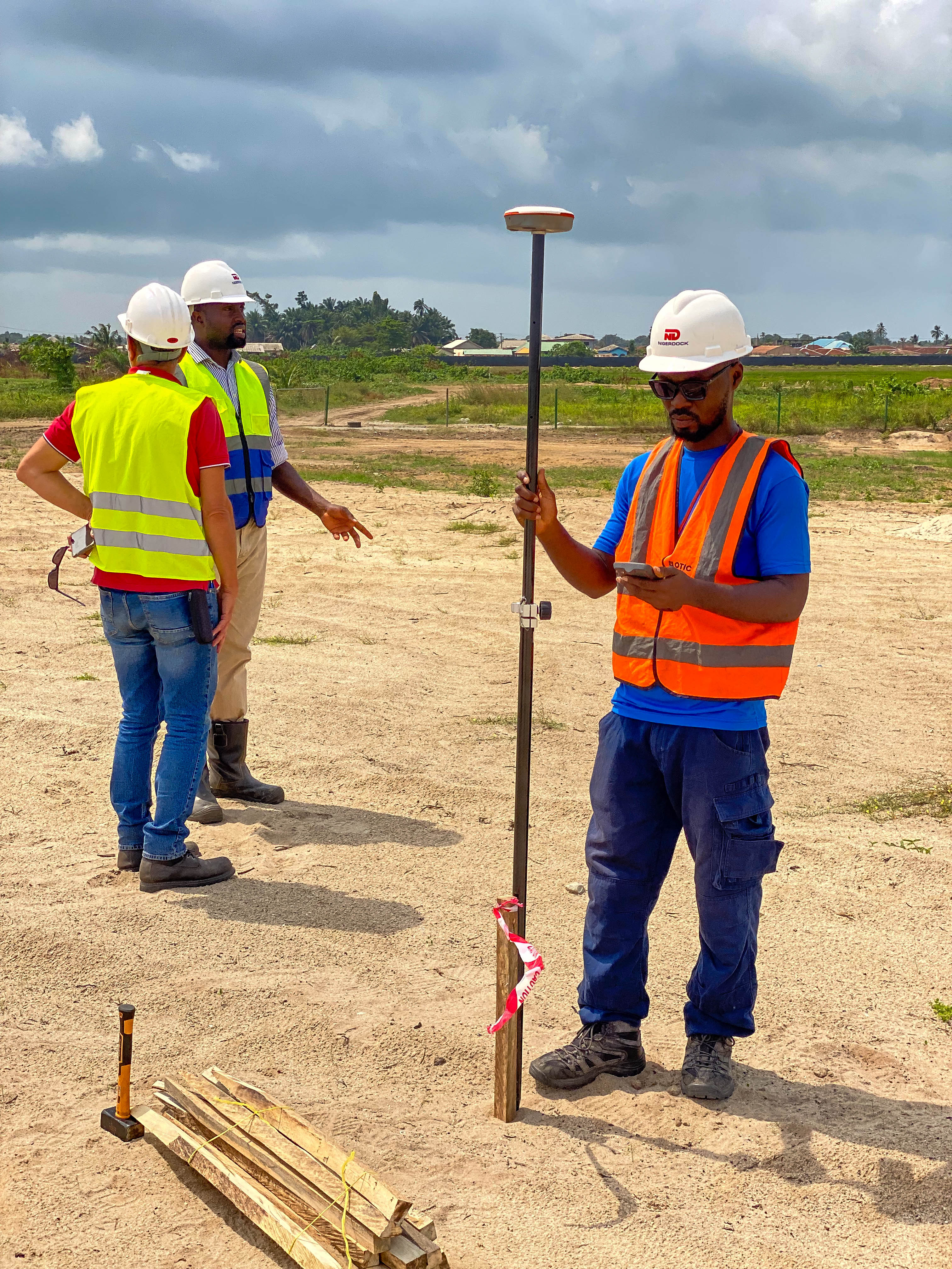
Land / Cadastal Survey
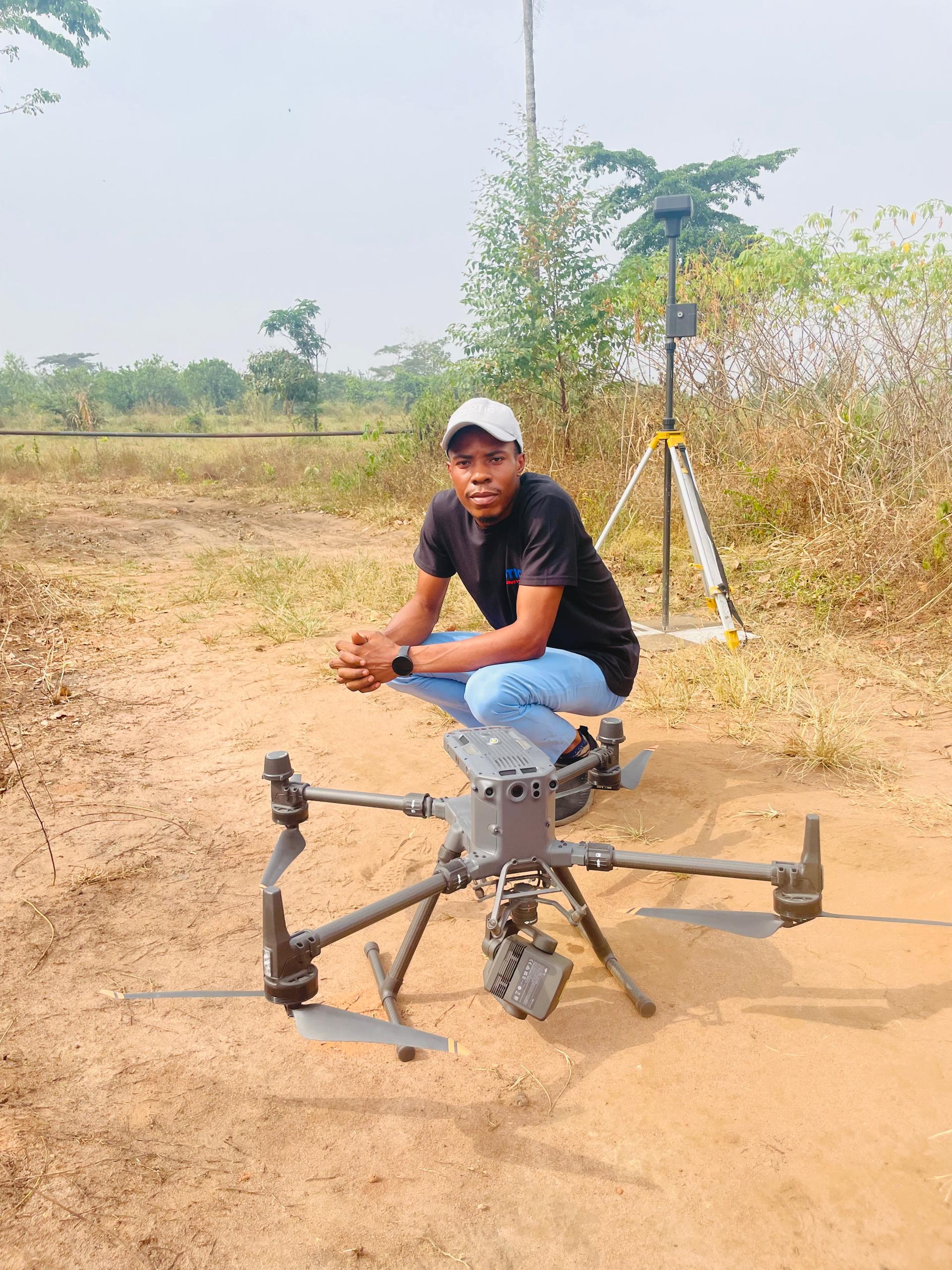
Drone / Aerial Survey
Remote Sensing & Mapping Services
Topographic Survey
Hydrographic / Bathymetric Survey
Professional Surveying & Geospatial Training
GIS & Spatial Data Analysis
Pipeline Survey
As-Built Survey
Route Survey
Setting Out Surveys
3D Laser Scanning


Our Vision
To be the No.1 Geospatial Solutions Company in Africa
Our Mission
To provide solutions to the problems of our customers everyday by being reliable and knowledgeable