Our Blog
Insights, tutorials, and updates from the world of geospatial technology
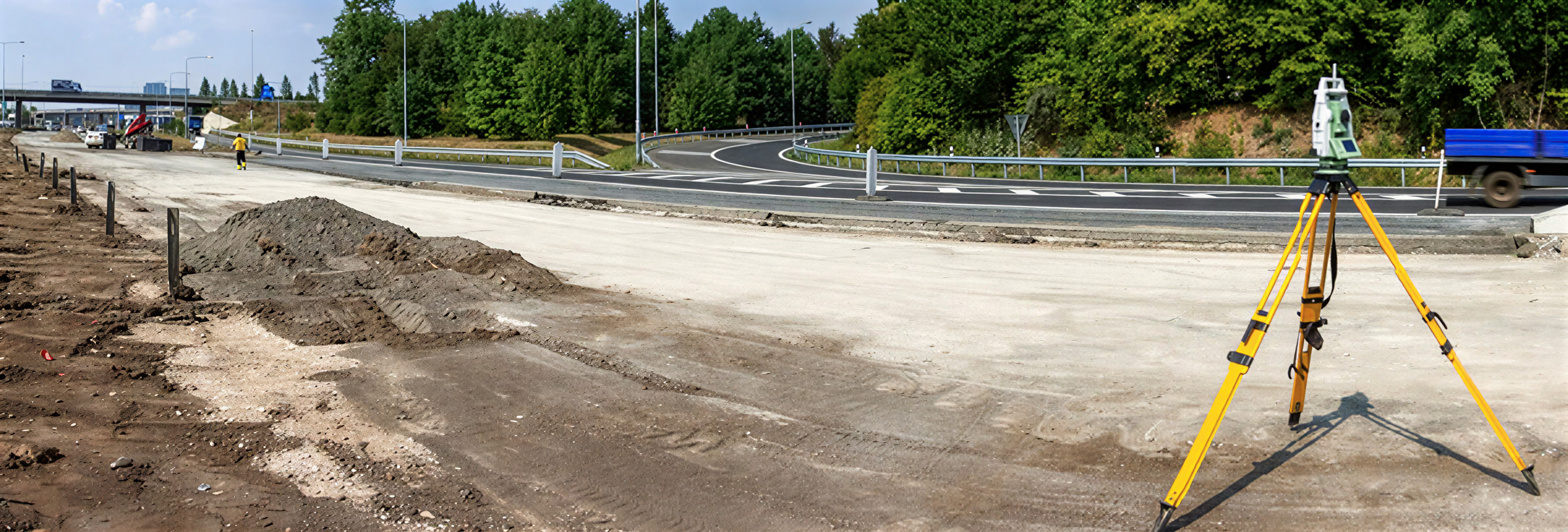
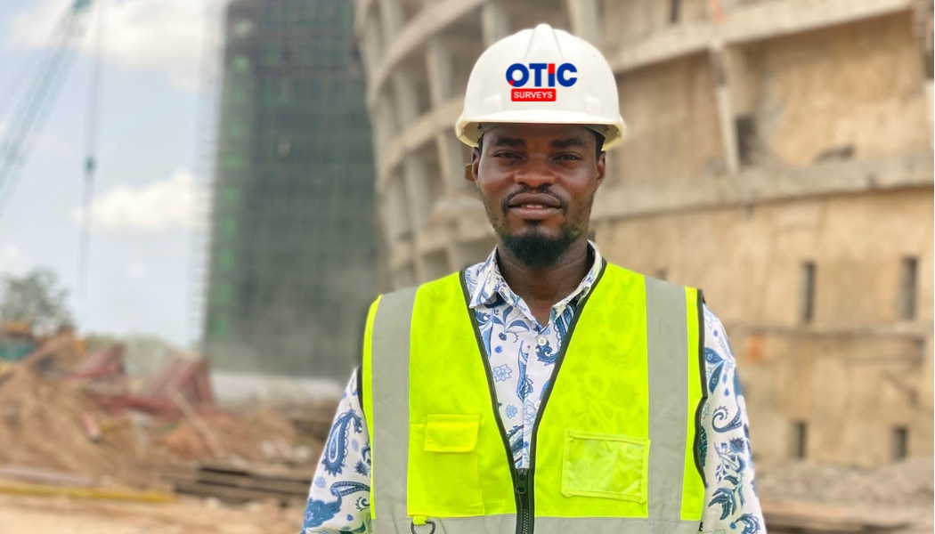
Why Every Construction Project Needs a Registered Surveyor Before It Begins.
A registered surveyor provides the accurate measurements, boundary verification, and geospatial data needed to ensure your project begins on the right footing. Discover why involving a professional surveyor early can save you time, money, and costly mistakes throughout the construction process.
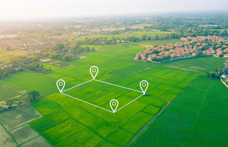
Buying Land in Nigeria? Here's What Every Buyer Should Know First
Buying land is one of the biggest financial decisions many Nigerians make. But before you pay for any plot, it's important to understand how land ownership works. Knowing the basics can help you avoid costly mistakes, land disputes, and future legal issues.
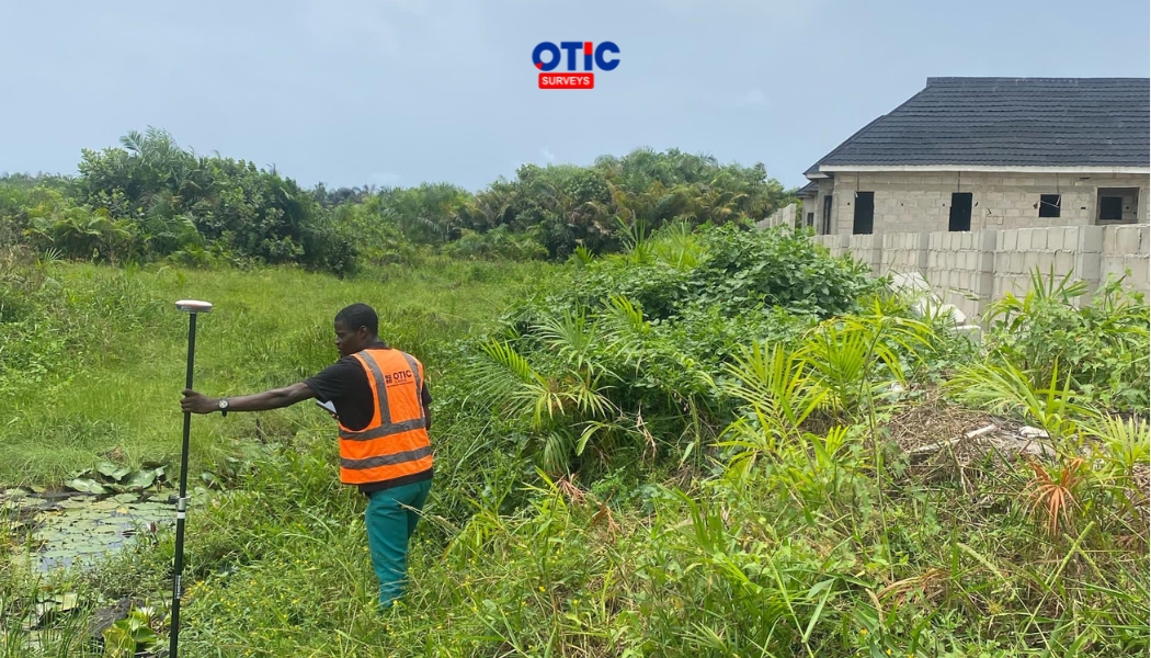
Land Surveying in Nigeria: Why Fencing Your Land Isn't Enough
Planning to fence your land? Learn why a professional land survey is essential before building, how it protects your property, and how it helps prevent costly boundary disputes in Nigeria.
The Evolution of Surveying in Nigeria: Technology, Skills, and the Future of the Profession
Discover how surveying has evolved from traditional instruments to GNSS, drones, LiDAR, and AI—and why knowledge, skills, and continuous learning remain the most valuable tools for modern surveyors.
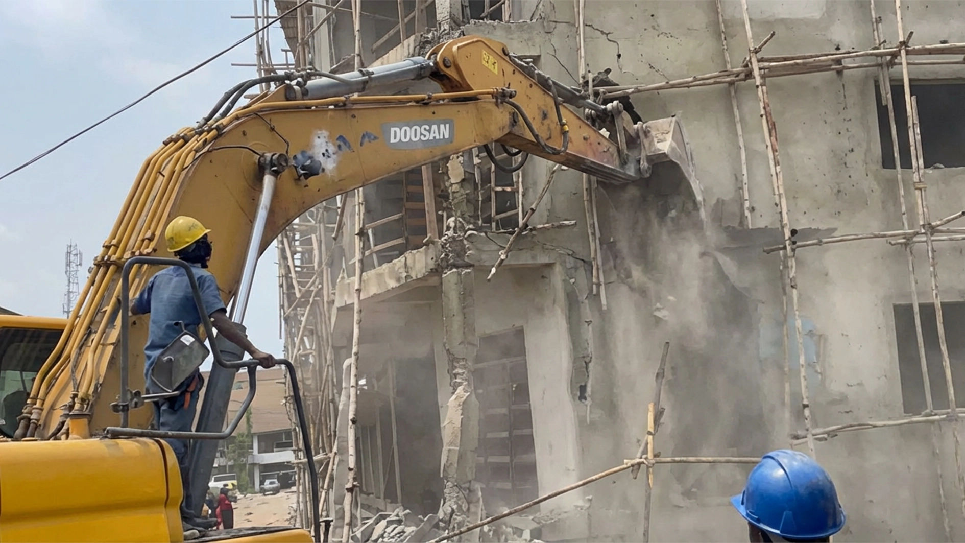
When One Small Survey Error Costs an Entire Building
When One Small Survey Error Costs an Entire Building I still think about a site visit from a few years back while running my final experimental project in risk management professional. The building was almost at roof level, columns up, slab cast, block work climbing fast. Then someone from the planning authority walked the perimeter with a tape measure and a frown.
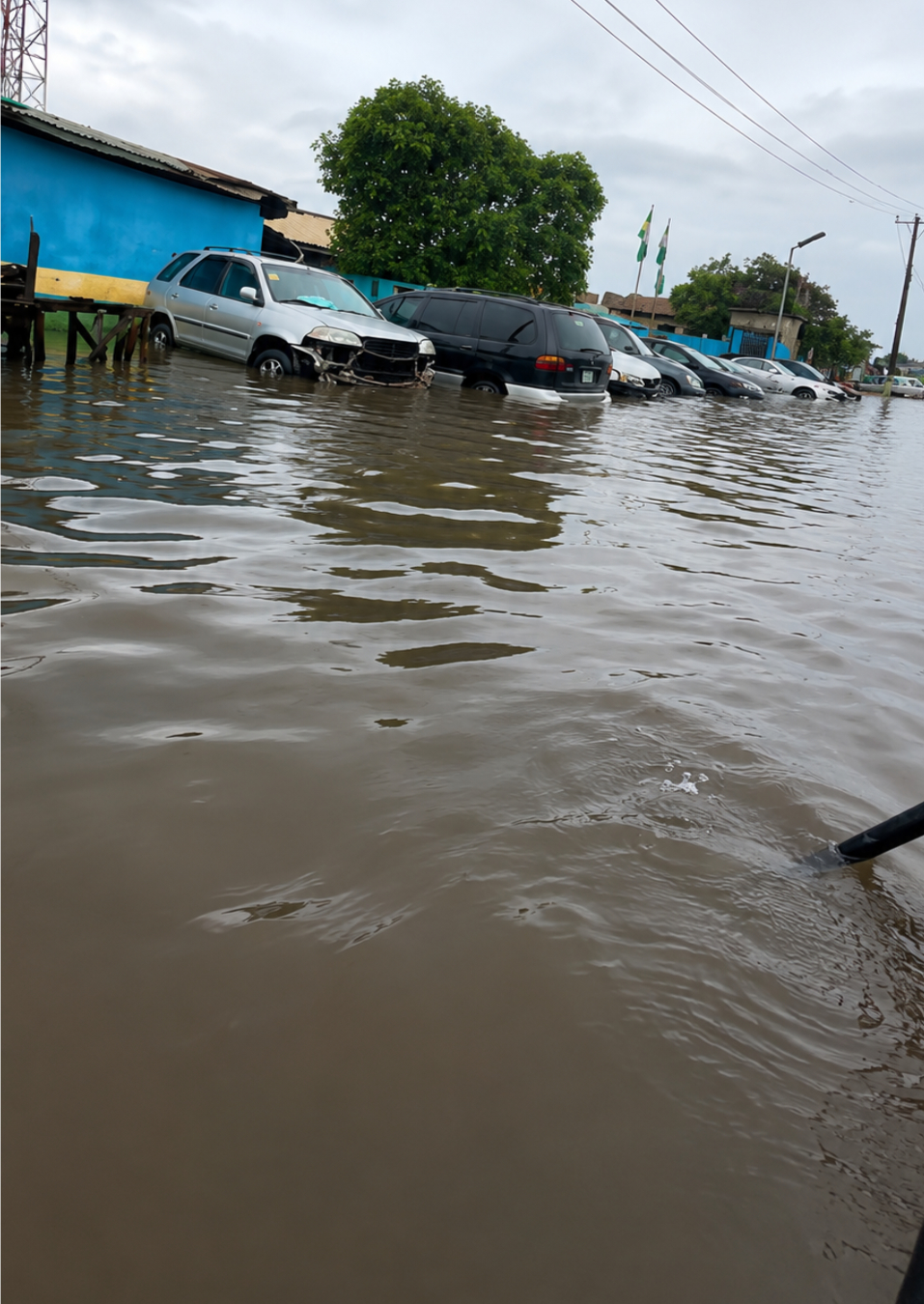
Why Are So Many Estates Flooding in Nigeria? How Topographic Surveys Help Real Estate Developers Build Flood-Resilient Estates
Flooding rarely starts with the rain. It often begins long before construction. Learn how topographic surveys help developers build safer, flood-resilient estates
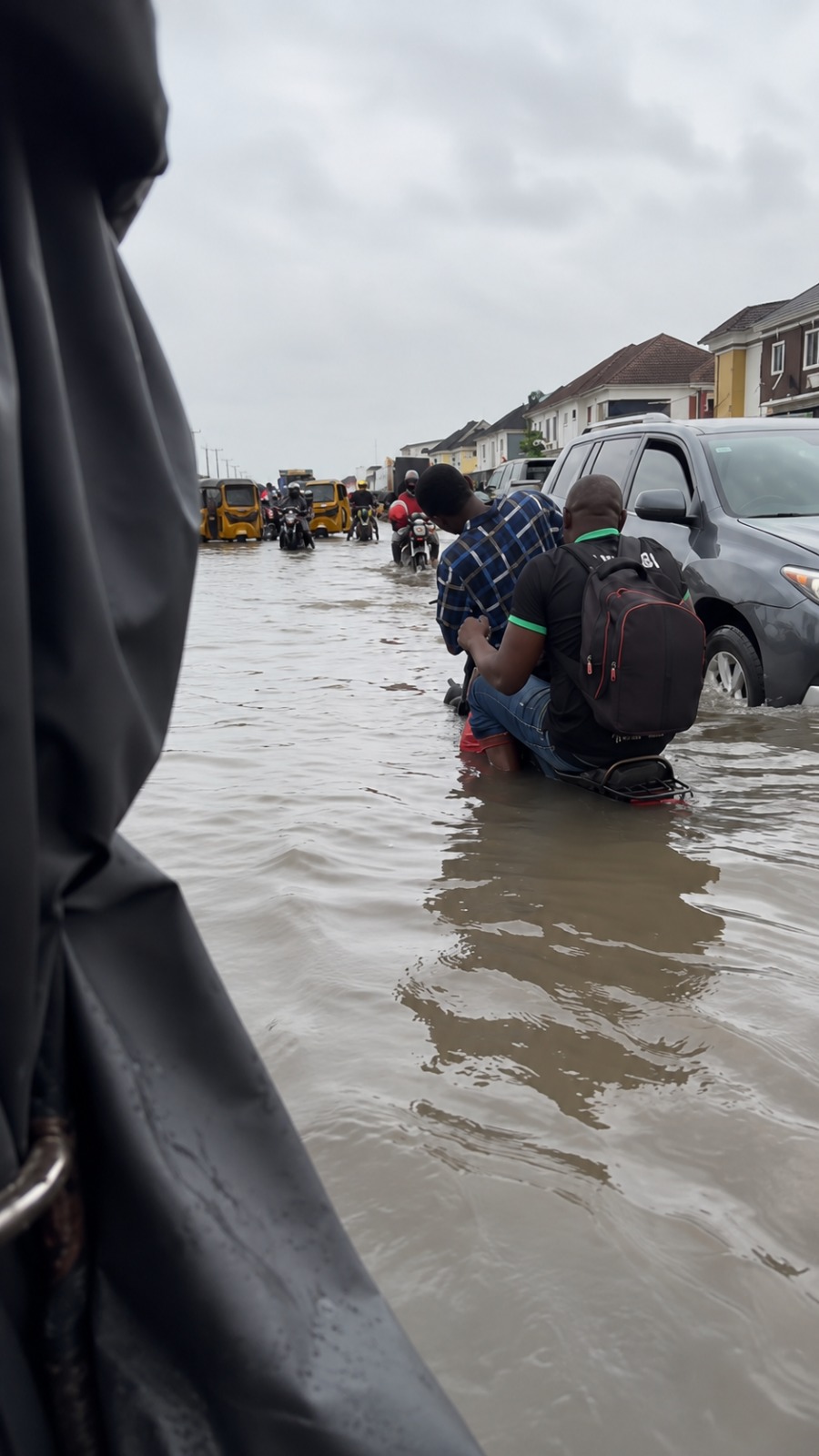
How Poor Surveying and Ignored Survey Data Have Worsened Flooding in Lagos Island
How inadequate land surveying, poor urban planning, and ignored geospatial data contribute to flooding in Lagos Island.
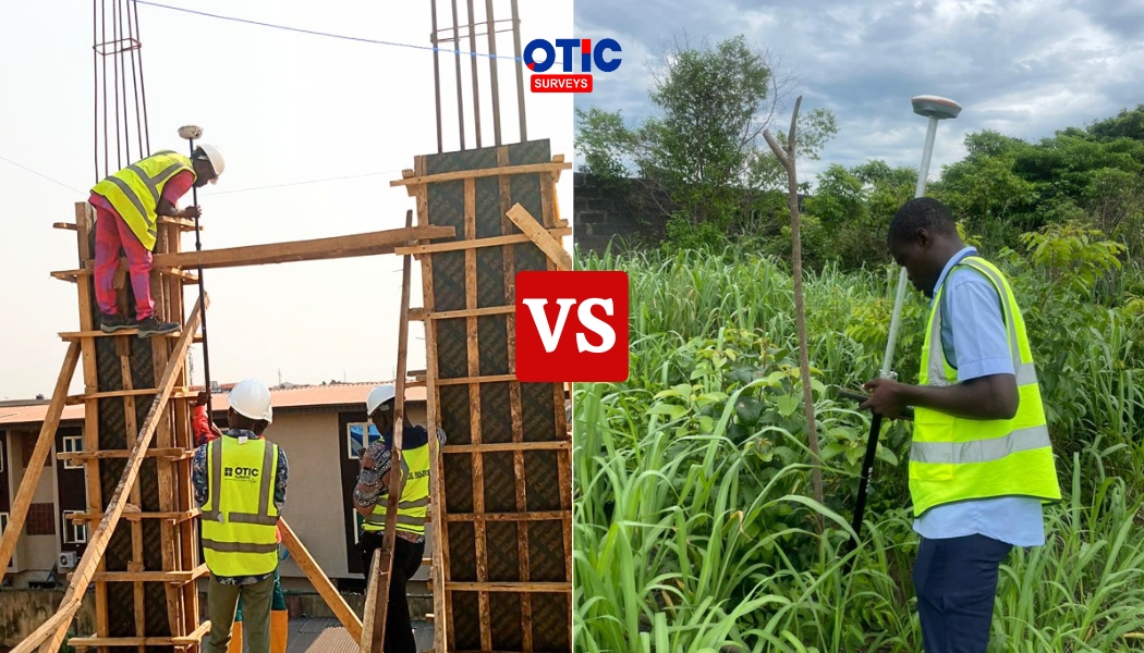
Engineering Survey vs Land Survey: What's the Difference (And Why Getting It Wrong Can Cost You Millions)
Land survey and engineering survey aren't the same thing, and confusing them is one of the costliest mistakes in Nigerian construction. Here's the difference, and which one your project actually needs
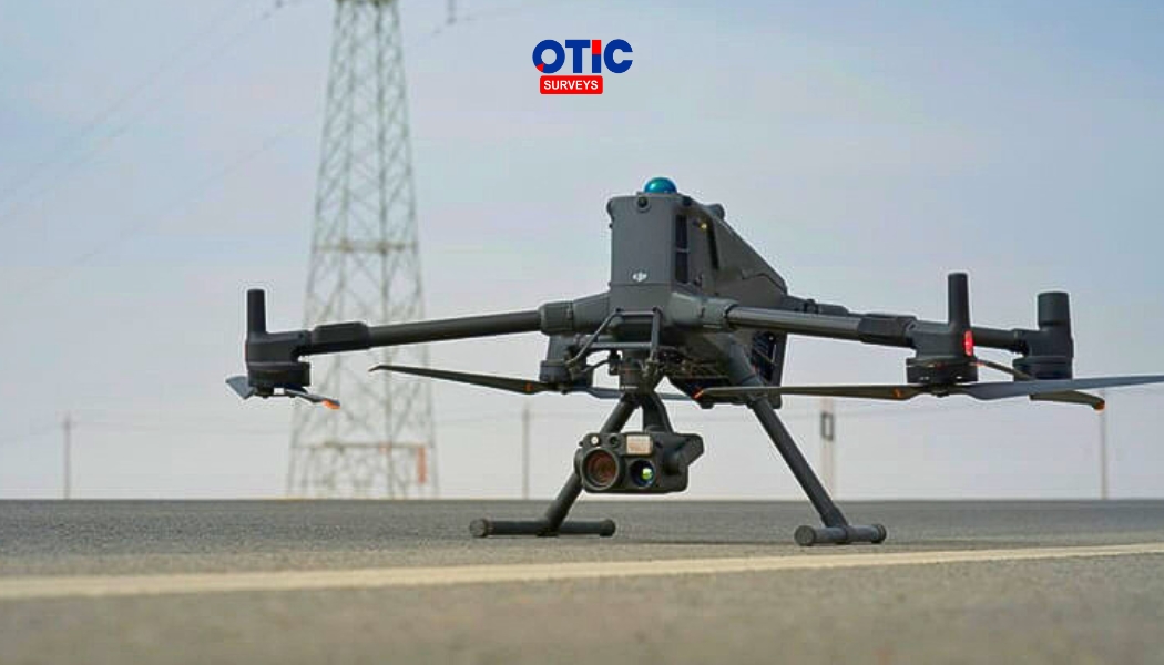
Comparing Professional Survey Drones vs Regular Drones
Learn the differences between professional survey drones and regular drones, how RTK technology improves mapping accuracy, and why investing in a DJI survey drone can help surveyors, engineers, and geospatial professionals deliver faster, safer, and more accurate projects.
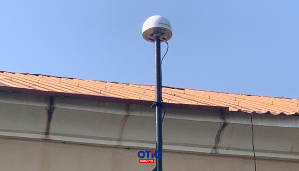
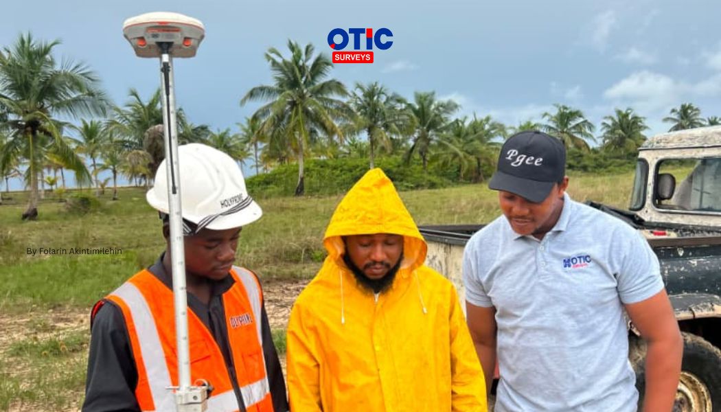
OTIC Surveys Installs CORS Station in Ekiti to Advance Precision Surveying in Nigeria
On November 28, 2025, OTIC Surveys partnered with the Nigerian Institution of Surveyors (NIS), Ekiti State Branch, to install a Continuously Operating Reference Station (CORS) in Ekiti State. Since then, the station has been providing reliable GNSS correction services, helping surveyors and geospatial professionals achieve greater positioning accuracy, improved efficiency, and dependable results while strengthening geospatial infrastructure in Nigeria.