Some surveys challenge you. Not just technically, but in the way they demand patience, planning, and adaptability. That was the case in July 2025, when our team at OTIC Surveys Limited was engaged to carry out a topographic and bathymetric survey at a dredging site in Orange Island, Ikate, Lagos.
The objective was clear: map the seabed and the surrounding land accurately, so the client could calculate the volume of material to be dredged. With that in mind, we assembled a strong team of three experienced surveyors and a trusted boatman, along with the equipment we needed to get the job done.
But as any surveyor knows, the field always has the final say.
On the first day, the weather had other plans. It had rained heavily, and the water was rough, waves too high to safely launch the survey. The boat provided wasn’t stable enough to carry our crew and delicate equipment. As always at OTIC, safety comes first, so we made the tough but necessary decision to postpone and return the next day with a better setup and plan.
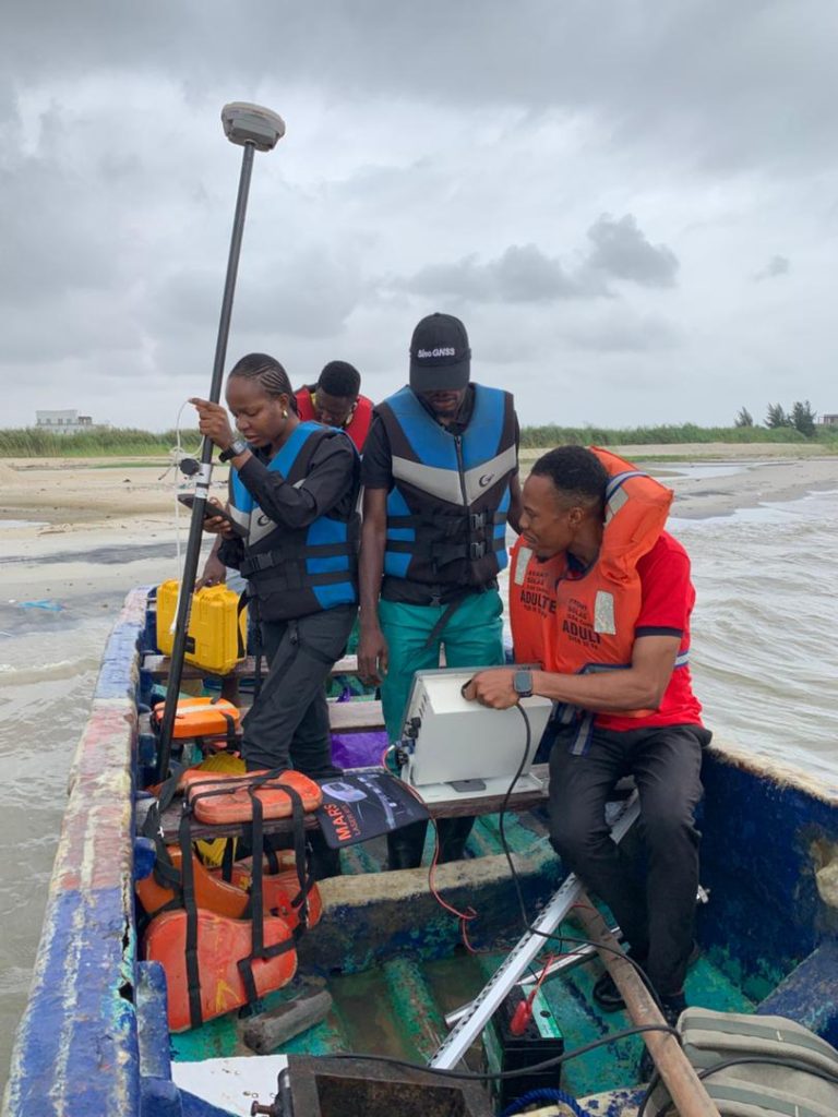
Fortunately, the second day greeted us with calm skies. We returned to the site ready to work. However, there were dredging pipes along parts of the shoreline, and we had to be extra cautious navigating through them. Because the survey area was shallow in parts, we turned on the echo sounder’s depth alarm, which was set to trigger at 0.5 meters or less, helping us monitor water depths carefully and avoid damage to the transducer or engine.
Equipment Used:
- Echo Sounder: For capturing accurate water depth readings (bathymetry)
- SinoGNSS N3 Rover Receiver : For land-based positioning
- CORS: Connected for real-time corrections and accuracy during the topographic survey
With the SinoGNSS N3 rover, we took spot heights on land to determine elevation changes. At the same time, our echo sounder continuously recorded the underwater depth, giving us a full picture of the site’s terrain above and below water.
The survey was completed successfully, despite the initial challenges. We delivered a detailed and reliable dataset, and the client was very pleased with both the results and the professionalism of our team.
Deliverables:
- Water depth data
- Seabed topography in .CSV format
- Combined land and water terrain map for volume computation
At OTIC Surveys Limited, we take pride in delivering smart, safe, and dependable survey services even when conditions aren’t ideal. Because for us, every job is about more than just data, it’s about trust, quality, and results that move projects forward.
Site Picture