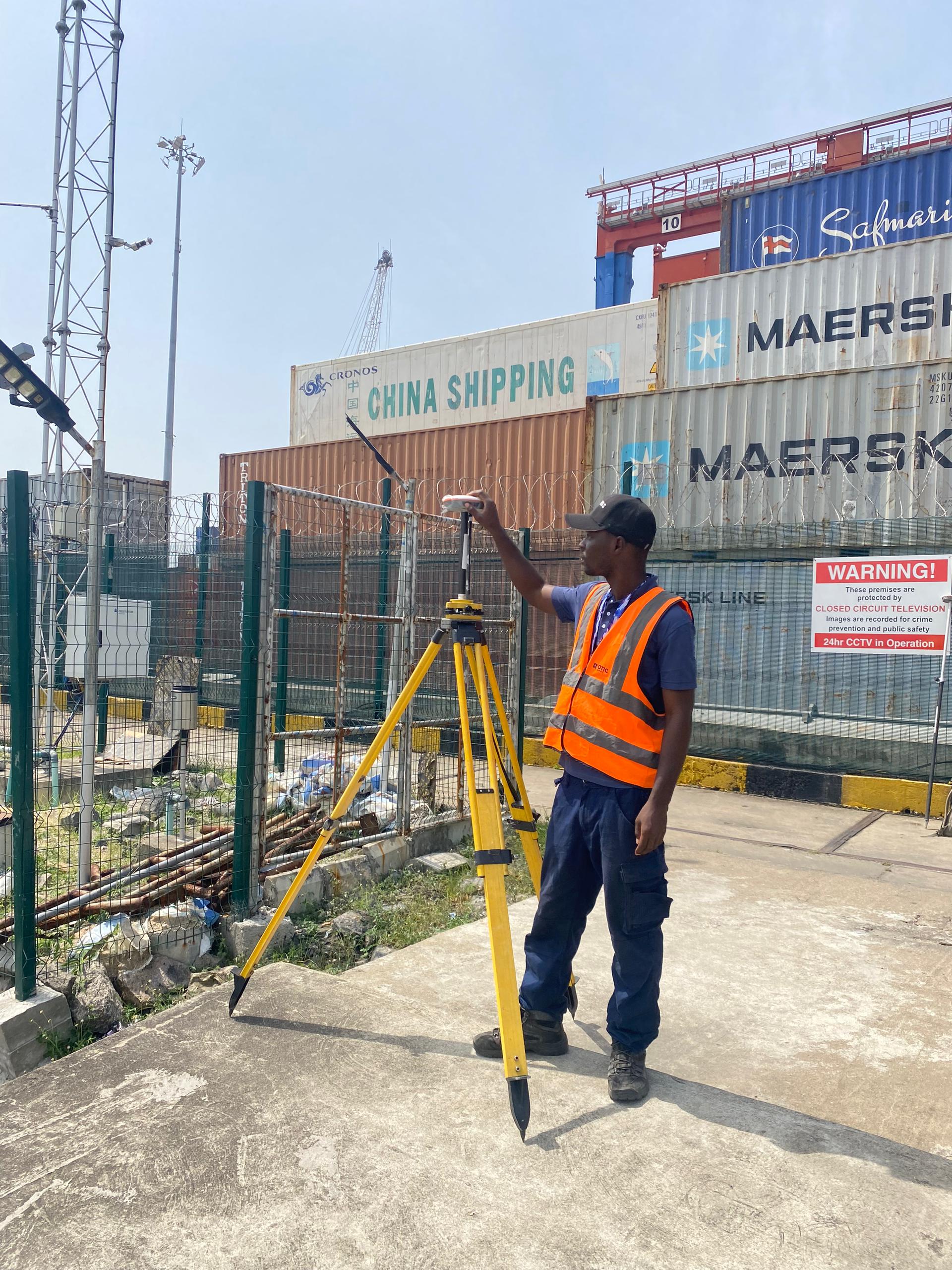
AI and automation are no longer buzzwords; they are the new foundation of modern surveying.Over the next five years (to 2030), expect faster drone and LiDAR workflows, automated point-cloud and imagery classification, GNSS/CORS-enhanced accuracy, and smarter data-driven mapping tools. Clients will soon pay less for “coordinates” and more for spatial intelligence insights that help them make real-world decisions. But guess what? The progress won’t be…

