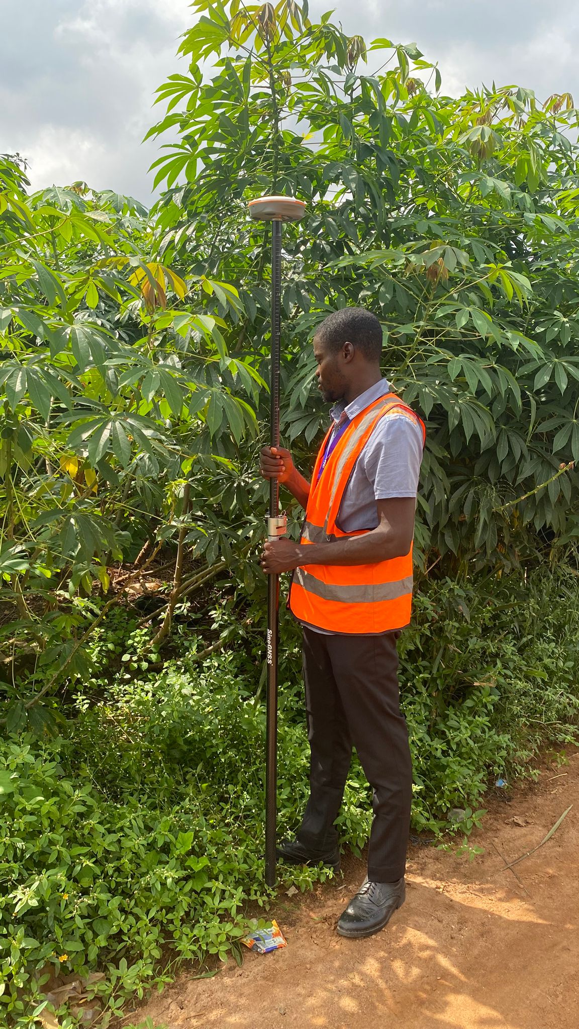
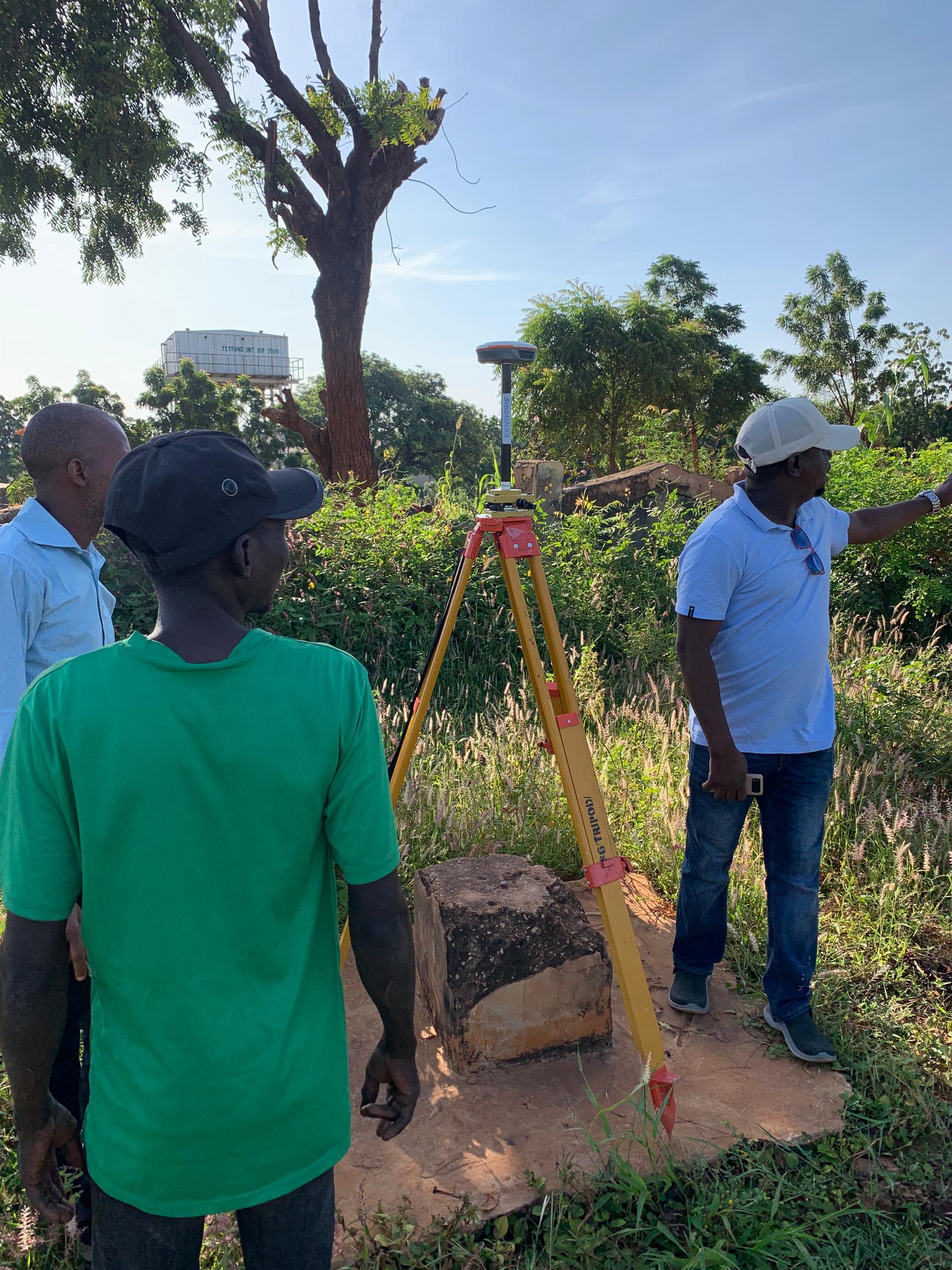
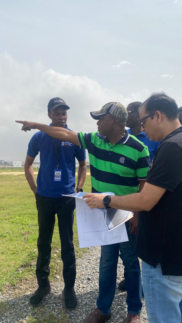
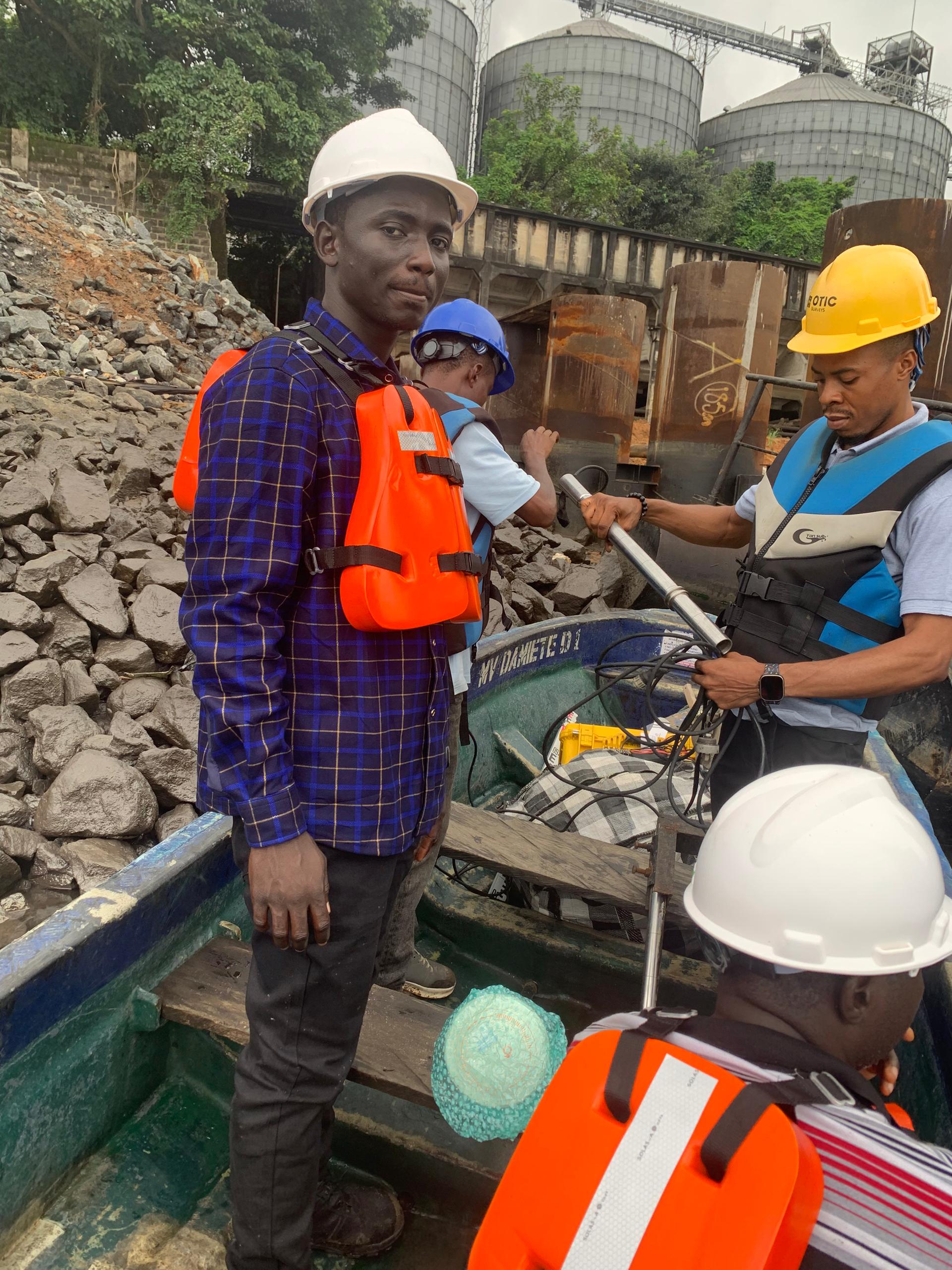
Avoid Land Disputes: Why You Need a Survey Plan Before Building

Buying land is one of the biggest investments you can make. But in Nigeria today, countless property owners face unnecessary stress and financial loss simply because they started building without a proper survey plan. A survey plan is more than a document — it’s your proof of ownership, boundary definition, and long-term peace of mind. Land Ownership Without Boundaries Is a Risk Many people buy…

From Compass to Controller: The Evolution of Survey Traditions and Tools

Surveying has always been about precision, but the tools and techniques behind that precision have changed dramatically over time. What started with ropes, chains, and compasses has grown into a profession built on data, satellites, and real-time positioning. In Nigeria, this evolution has reshaped how surveyors work, think, and connect their craft to the changing needs of communities and industries. In the early years, surveyors…

A BUYER’S GUIDE TO SAFE LAND ACQUISITION IN LAGOS, NIGERIA: 10 ESSENTIAL STEPS

Buying land in Lagos is one of the most popular ways people invest in real estate in Nigeria, but it can also be one of the riskiest. From Omonile scams to government acquisitions and fake documents, countless people have lost their life savings because they rushed into land transactions without proper due diligence. Lagos, being Nigeria’s commercial hub, has a high demand for land, and…

Professional Surveying Services in Nigeria

When you think of development in Nigeria, housing estates, farmlands, highways, bridges, and even water projects, there is always one starting point: a land surveyor’s work. Accurate surveys form the foundation of every successful project. Without them, property boundaries become unclear, structures fail, and investments fall into dispute. Yet many people overlook this step, cutting corners and paying heavily for it later The Real Cost…

A Buyer’s Guide to Safe Land Acquisition in Lagos, Nigeria: 10 Essential Steps

Buying land in Lagos is one of the most popular ways people invest in real estate in Nigeria, but it can also be one of the riskiest. From Omonile scams to government acquisitions and fake documents, countless people have lost their life savings because they rushed into land transactions without proper due diligence. Lagos, being Nigeria’s commercial hub, has a high demand for land, and…

Bathymetric Survey in Nigeria: Why Every Developer Near Water Needs It (Not Just for Sand filling)

In Nigeria today, as more construction projects push into coastal, riverside, and swampy areas, one question keeps popping up from engineers, real estate developers, and contractors alike: “Do I need a bathymetric survey before I start work?” It’s a fair question. After all, hiring a survey team with specialized equipment like echo sounders and GNSS receivers adds to the project cost. In some cases, developers…

Bathymetric Survey at Orange Island Ikate

Some surveys challenge you. Not just technically, but in the way they demand patience, planning, and adaptability. That was the case in July 2025, when our team at OTIC Surveys Limited was engaged to carry out a topographic and bathymetric survey at a dredging site in Orange Island, Ikate, Lagos. The objective was clear: map the seabed and the surrounding land accurately, so the client…

ComNav SinoGNSS T300 in Awka Anambra

Story of how we became a ComNav Technology Partner selling Surveying Equipment

Years ago, my boss asked me to assist his friend on a pipeline project. His friend is a senior colleague and I had done some work for him in the past so when he had some challenges on this project, he asked my boss to let me help him on the project. He had a pipeline survey project which ran from Agbo in Delta to…

The Risks of Using Handheld GPS, Tape, and Compass for Cadastral Surveys Instead of GNSS

The Risks of Using Handheld GPS, Tape, and Compass for Cadastral Surveys Instead of GNSS

A recent discussion with a fellow surveyor in Lagos raised a critical concern—many professionals still rely on outdated tools such as handheld GPS devices, measuring tapes, and compass for cadastral surveys. These traditional tools expose surveyors and property owners to significant risks, including legal disputes, financial losses, and reputational damage. Surprisingly, our discussion made me realize that many surveyors might be unaware of the significant…

1300 Hectares LIDAR Drone Topographic Survey for the approved Airport at Nsulu Abia State

We recently concluded a topographic survey for the newly approved Abia State Airport, located in Nsulu, Isiala Ngwa North LGA. The project lasted for three days, covering a sprawling site of approximately 1300 hectares. Despite the challenges presented by thick vegetation and security concerns, the survey was successfully completed, thanks to our advanced technology, dedicated team, and the unwavering support of the local community. For…