Our Blog
Insights, tutorials, and updates from the world of geospatial technology
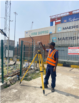
How to Find the Right Surveyor in Nigeria for Your Project Online
In Nigeria, buildings are often demolished without compensation due to government acquisition, ROW encroachment, lack of approvals, or flood risks.
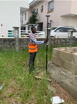
The Role of a Survey in Securing Your Land Title
In Nigeria, land disputes and title issues are common. This article explains how a proper land survey confirms boundaries, protects you legally, and is essential for securing your land title.
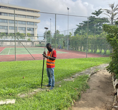
Why the Government Demolishes Buildings Without Compensation in Nigeria – Facts Every Property Buyer Must Know
In Nigeria, buildings are often demolished without compensation due to government acquisition, ROW encroachment, lack of approvals, or flood risks.
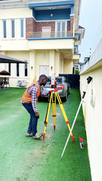
Why You Need a Land Survey Before Starting Any Construction Project in Nigeria
In Nigeria, land disputes, government acquisition, and boundary issues are common
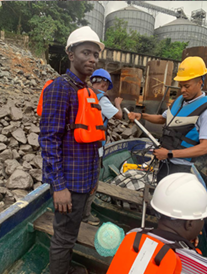
Bathymetric Survey in Nigeria: Why Every Developer Near Water Needs It (Not Just for Sand filling)
Many water-based projects in Nigeria fail or face delays because bathymetric surveys are skipped.
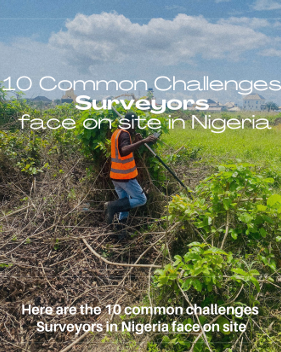
10 Common Challenges Surveyors Face On Site in Nigeria
Surveying in Nigeria comes with real on-site challenges, from insecurity and hostile communities to poor access roads, equipment failure, weak network coverage, and client pressure.

Why We Don’t Take On Certain Survey Jobs
Land surveying in Nigeria goes beyond maps and coordinates.

Why 3D Scanning in Nigeria: Benefits, Implications, and the Future of The Construction Industry
3D scanning is transforming construction accuracy, safety, and accountability worldwide, yet remains underutilized in Nigeria.

Bathymetric Survey at Orange Island Ikate
In July 2025, OTIC Surveys conducted a topographic and bathymetric survey at a dredging site in Orange Island, Ikate, Lagos.

Understanding Setbacks and Right of Way: Lessons from the Ikota Demolitions in Lagos
The recent demolitions in Ikota, Lagos highlight the importance of Right of Way (RoW) and setback regulations