Our Blog
Insights, tutorials, and updates from the world of geospatial technology
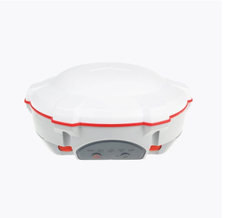
COMNAV T300 FOR SALE
This high-performance GNSS receiver features 256-channel tracking across GPS, Beidou, GLONASS, and SBAS systems for reliable positioning.
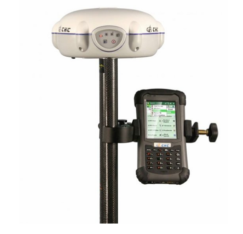
CHC X91 FOR SALE
This advanced GNSS receiver offers 220-channel tracking across GPS, GLONASS, Galileo, and Beidou satellites with multipath mitigation for high accuracy.
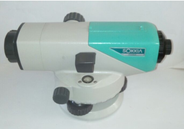
SOKKIA AUTOMATIC LEVEL FOR SALE
This precision leveling instrument features an ultra-short focus distance of 20 cm and a large effective aperture for accurate measurements.
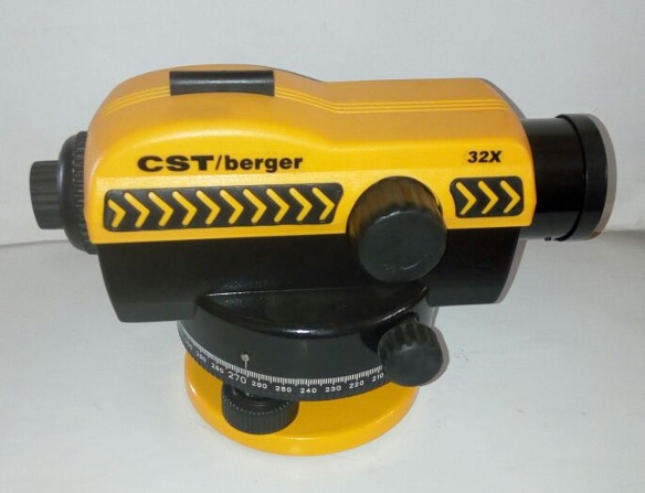
CST/berger 32X Automatic Level for Sale
The CST/Berger 32X Automatic Level is a high-precision surveying instrument designed for accuracy and durability.
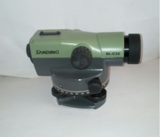
SANDING AUTOMATIC LEVEL FOR SALE
This Sanding Level is a durable, precise tool ideal for surveying and construction work.
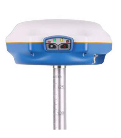
CHC SINOV M5 GNSS RECEIVER FOR SALE
The M5 GNSS dual-frequency receiver is a high-performance, cost-effective solution for topographic and construction surveying.

How to Verify Red Copy of Survey Plan in Lagos was Lodged
After a land survey in Lagos, the job isn’t complete until the surveyor submits the Record Copy to the office of the Surveyor General

How to easily verify a C of O in Lagos state
Verifying a C of O (Certificate of Occupancy) in Lagos is straightforward at the Alausa Land Registry.
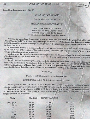
How to Obtain Land Excision in Lagos
Obtaining land excision in Lagos involves several official steps, including application submission, survey charting, government verification, and site inspections before approval.
Cost of land survey in Ogun state
Survey costs in Ogun State increased following a review by the Nigeria Institution of Surveyors to reflect economic realities and professional demands.