Our Blog
Insights, tutorials, and updates from the world of geospatial technology
FAQs About Land Surveying For Estate Development In Nigeria
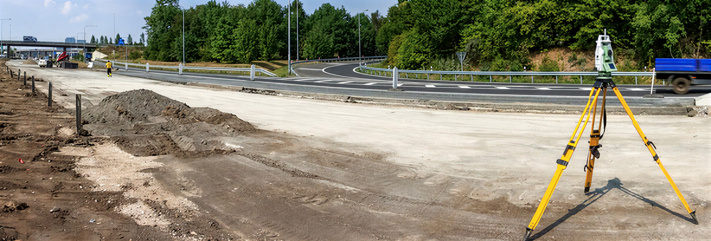
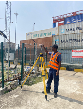
Route surveys are critical for roads, pipelines, and utilities in Nigeria.

A Buyer’s Guide to Safe Land Acquisition in Lagos, Nigeria: 10 Essential Steps
Route surveys are critical for roads, pipelines, and utilities in Nigeria.
Professional Route Survey Services in Nigeria: Guide for Engineers and Developers
Route surveys are critical for roads, pipelines, and utilities in Nigeria.
Land Surveying in Nigeria: What Estate Developers Must Know Before Buying Land
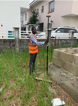
Buying land for estate development in Nigeria is risky without proper surveys.
How to Find the Right Surveyor in Nigeria for Your Project Online
In Nigeria, buildings are often demolished without compensation due to government acquisition, ROW encroachment, lack of approvals, or flood risks.
The Role of a Survey in Securing Your Land Title
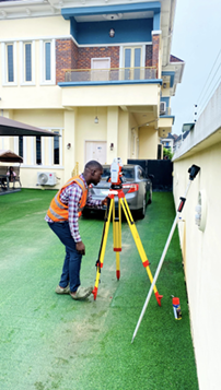
In Nigeria, land disputes and title issues are common. This article explains how a proper land survey confirms boundaries, protects you legally, and is essential for securing your land title.
Why the Government Demolishes Buildings Without Compensation in Nigeria – Facts Every Property Buyer Must Know
In Nigeria, buildings are often demolished without compensation due to government acquisition, ROW encroachment, lack of approvals, or flood risks.
Why You Need a Land Survey Before Starting Any Construction Project in Nigeria
In Nigeria, land disputes, government acquisition, and boundary issues are common
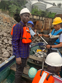
Bathymetric Survey in Nigeria: Why Every Developer Near Water Needs It (Not Just for Sand filling)
Many water-based projects in Nigeria fail or face delays because bathymetric surveys are skipped.
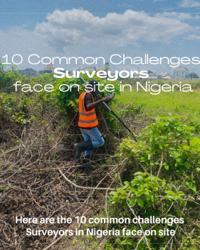
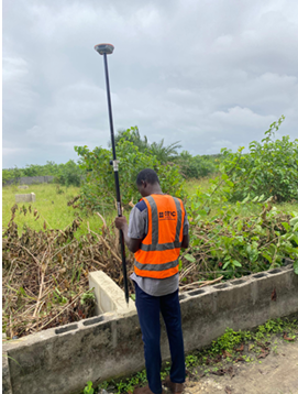
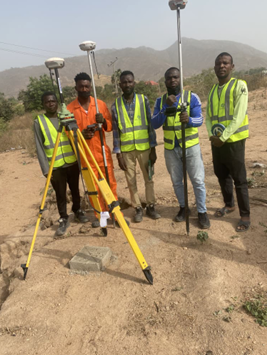
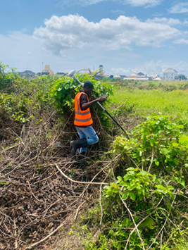
10 Common Challenges Surveyors Face On Site in Nigeria
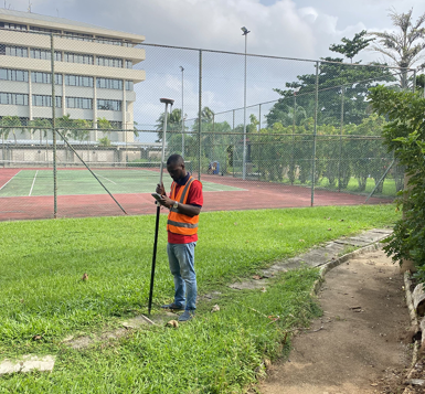
Surveying in Nigeria comes with real on-site challenges, from insecurity and hostile communities to poor access roads, equipment failure, weak network coverage, and client pressure.