Our Blog
Insights, tutorials, and updates from the world of geospatial technology
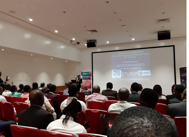
Land / Cadastral SurveySep 3, 2019
Sambus Geospatial Executive meeting
Attending the ESRI and Sambus Geospatial Executive meeting at Eko Hotel this morning.
DA
Read MoreDanAuthor
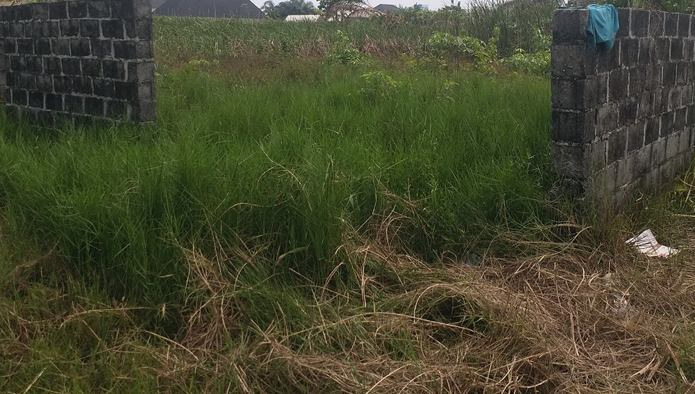
Land / Cadastral SurveyJul 25, 2019
Land Banking with Wisdom
Land banking requires more than buying land and waiting for appreciation — consistent monitoring is essential to protect your investment.
DA
Read MoreDanAuthor
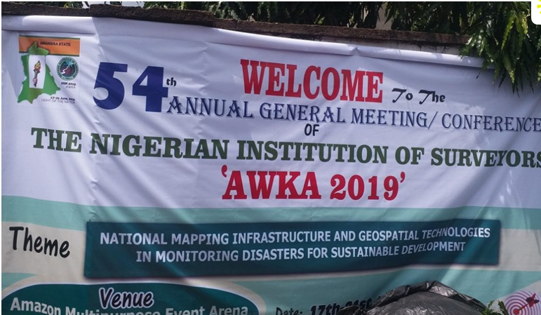
Land / Cadastral SurveyJun 24, 2019
2019 NIS AGM AWKA
We attended the Annual General Meeting of the Nigeria Institution of Surveyors held at Amazon Event Center in Awka, Anambra State, Nigeria
DA
Read MoreDanAuthor
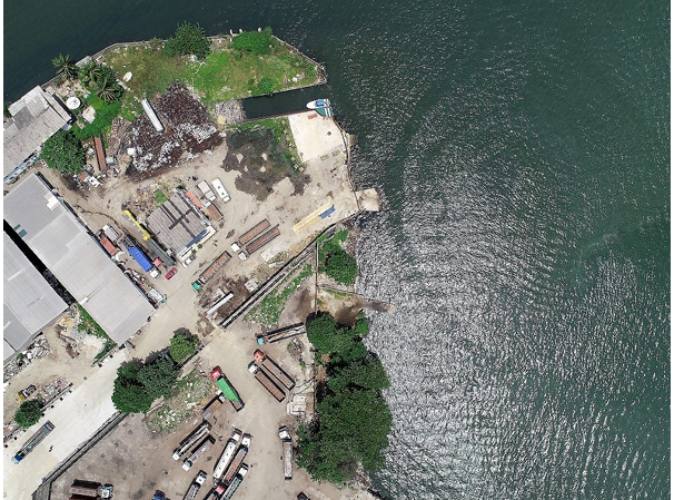
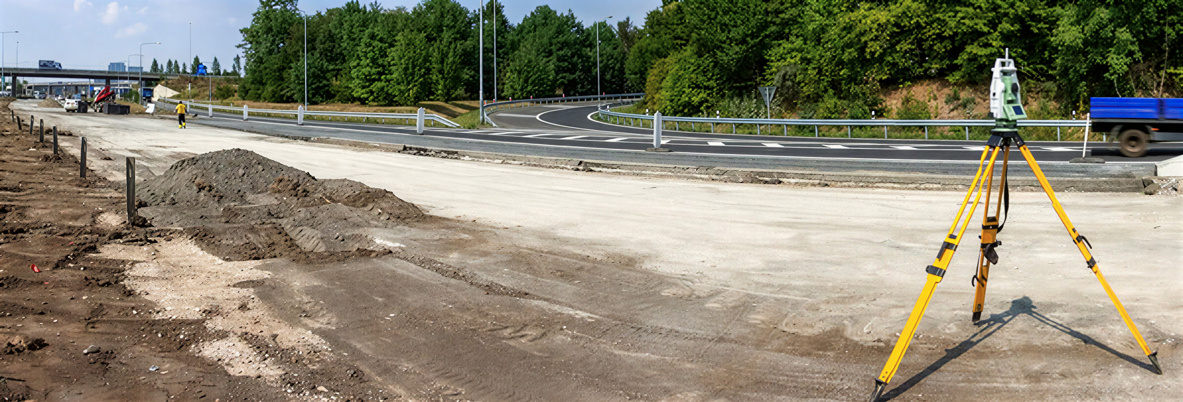
Land / Cadastral SurveyApr 1, 2019
Drone Survey in Lagos
Drone surveys go beyond photography by capturing aerial images with accurate, to-scale measurements.
DA
Read MoreDanAuthor