Our Blog
Insights, tutorials, and updates from the world of geospatial technology
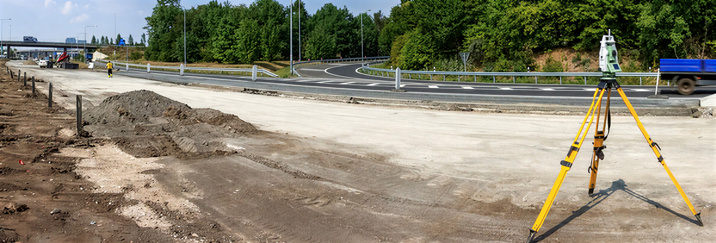
Benefits of Using Drones in Construction
Drones are transforming construction sites in Lagos by providing aerial images that improve planning, monitoring, and safety.
Requirements for Granting of Village Excision in Lagos
Applying for excision in Lagos State requires proper documentation submitted to the Lands Bureau.
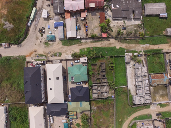
Drone Photo – A better perspective
Drone photo of an oil depot in Lagos
Land Ratification or Regularization In Lagos State
Land Regularization (also called Ratification) happens when a person or company buys land that legally belongs to the government.
List of Registered Surveyors in Lagos State
In Nigeria, only registered surveyors can legally practice anywhere in the country.
Drone Aerial Images for Real Estate Marketing
An aerial photo is an image taken from above ground level, now easily captured using drones instead of costly aircraft.
Drone Survey for Real Estate Marketing
An aerial photo is an image captured from an elevated position above the ground.
Why You Should Always Use Professionals when Building or Acquiring a Property
Using professionals when buying or building property helps prevent costly mistakes and legal issues. Surveyors, engineers, architects, planners, and lawyers each play a vital role in ensuring sa
Difference between Excision File Number and Gazette Number
When buying land in Lagos, understand the difference between an excision file number and a gazette number.
Step by Step Process for Acquiring Land and Gettting Your C of O in Lagos
Excerpt (2–3 sentences): Acquiring land and obtaining a Certificate of Occupancy or Governor’s Consent in Lagos requires careful steps, including land search, charting, ownership verification, and proper documentation.