Our Blog
Insights, tutorials, and updates from the world of geospatial technology
The Role of Surveyors in Preventing Land Encroachment in Nigeria
Land encroachment is one of the most common triggers of property disputes in Nigeria.
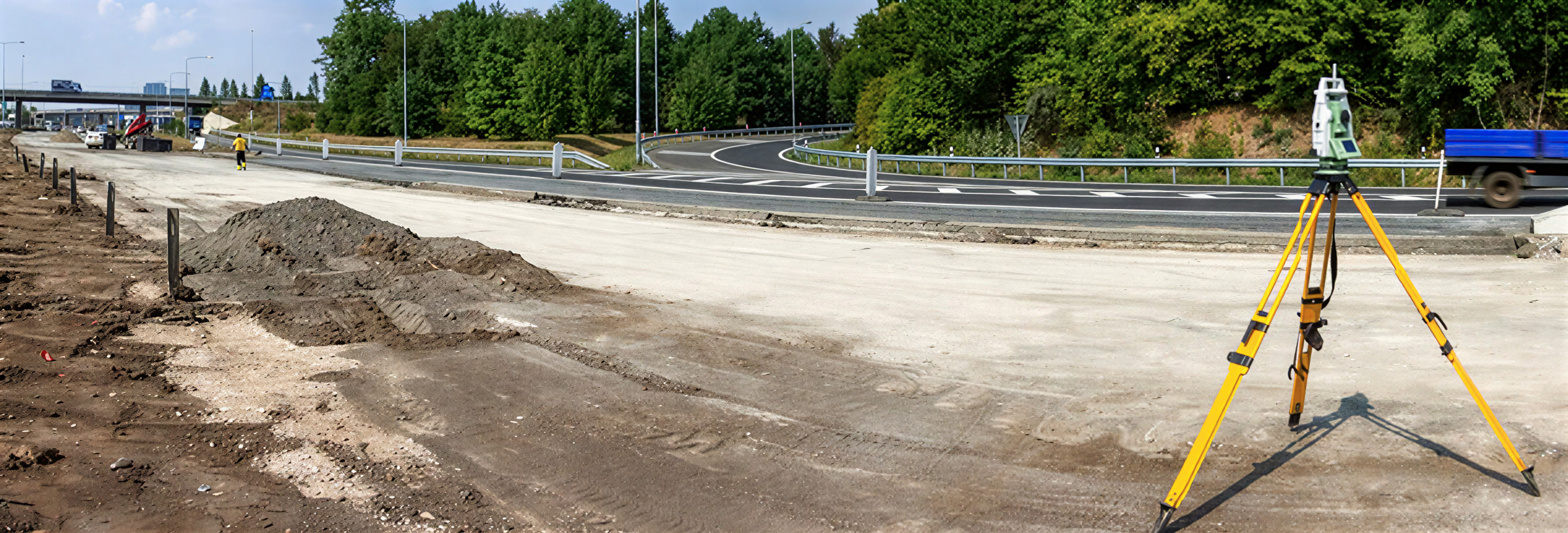
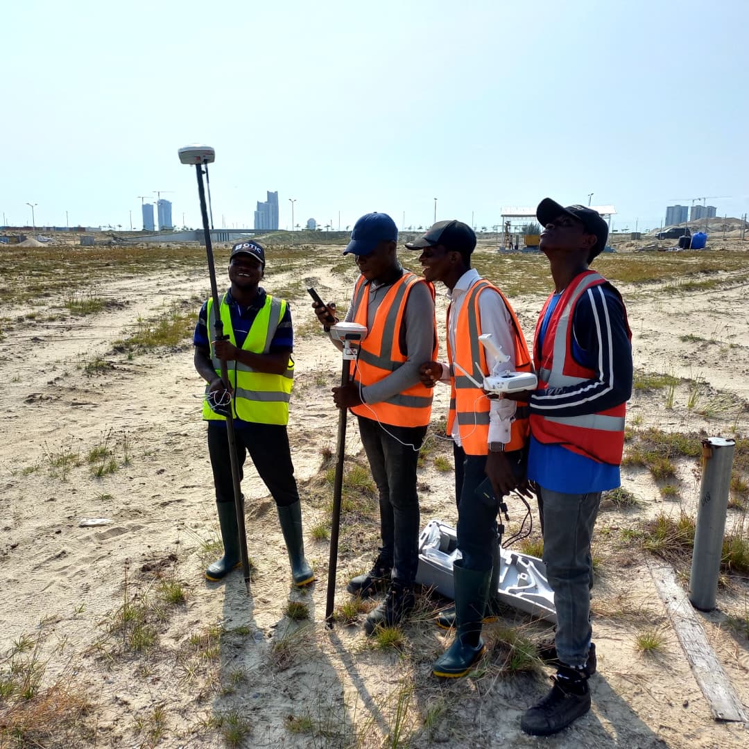
Part 2: The Role of Engineering Surveyors in Road Works
In road construction, surveyors transform preliminary concepts into buildable, reliable plans. Their expertise ensures roads are safe, durable, and aligned with design and environmental realities.
Bad roads are more than an inconvenience—they are costly, unsafe, and reflect poor planning and execution.
Many young surveyors and geomatics students feel uncertain when starting their careers.
Engineering Surveyors for Road Works, Part 1: The Causes of Bad Roads
Bad roads are more than an inconvenience—they are costly, unsafe, and reflect poor planning and execution.
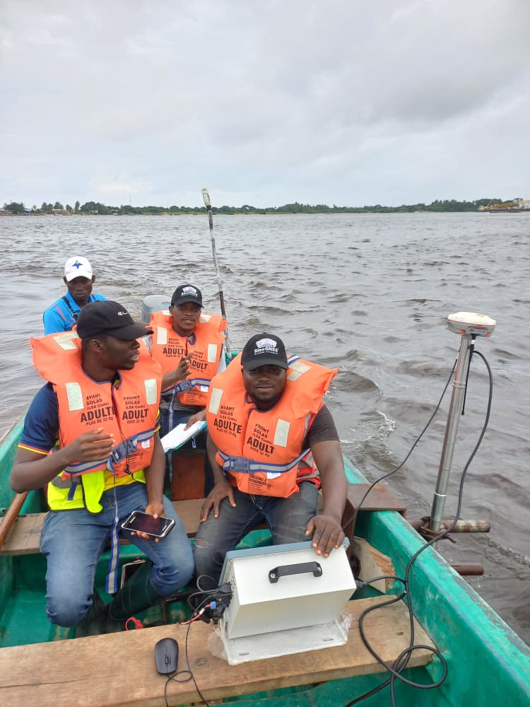
PART 2: Bathymetry In Action, Real Applications, Practical Guide, Cost Realities & How to Choose the Right Provider in Nigeria
In Nigeria’s marine and inland waterways, bathymetric surveys are only as good as the team executing them.

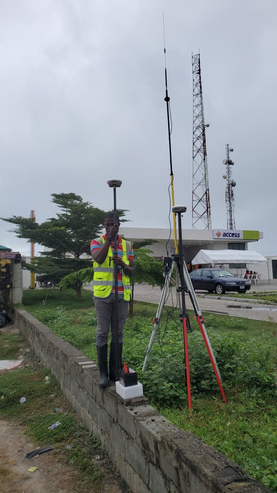
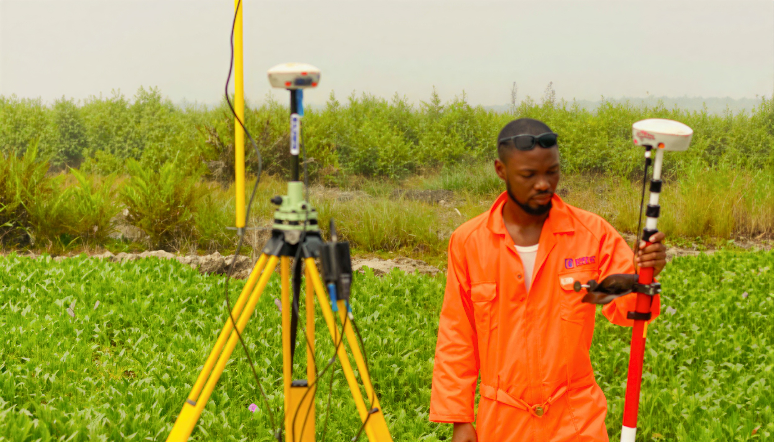
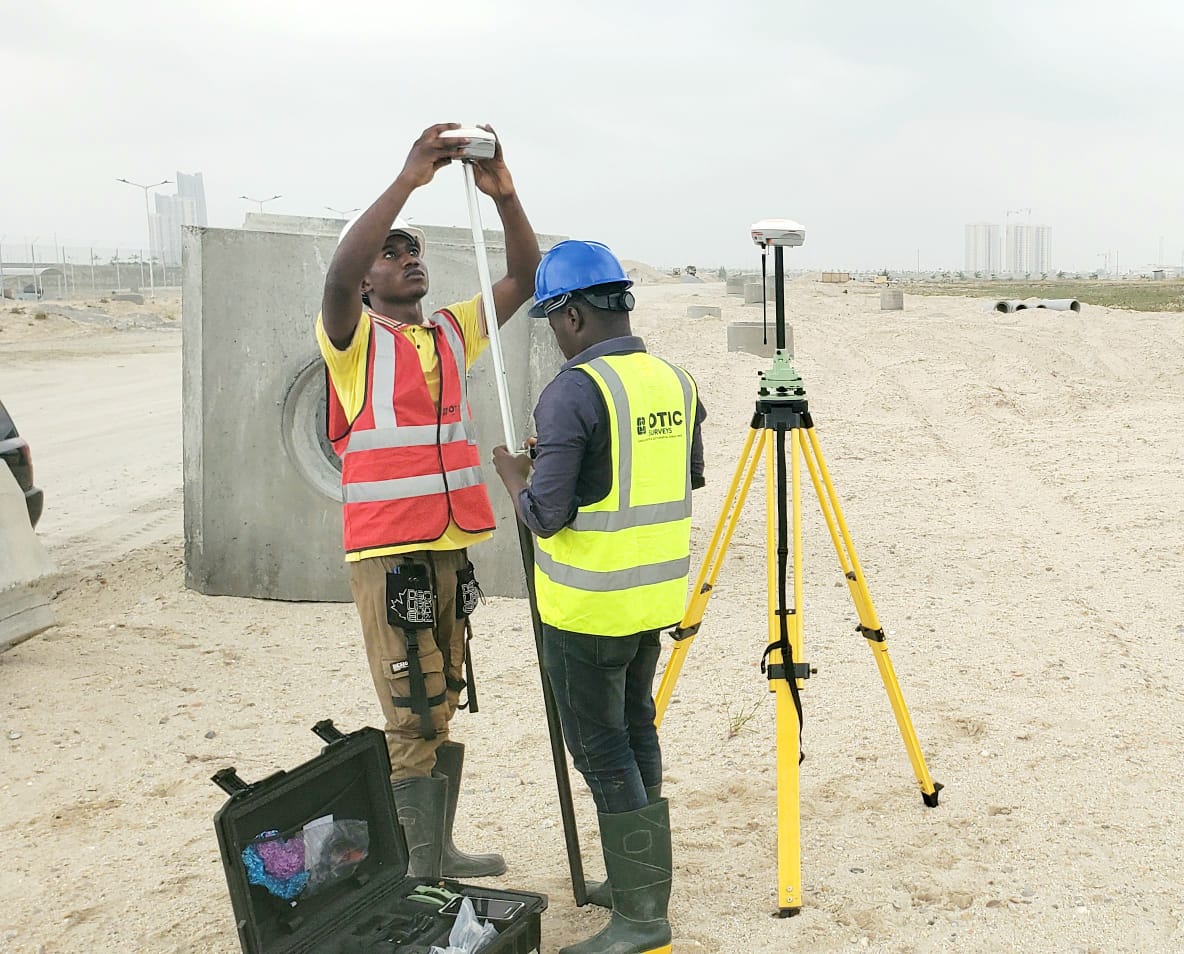
Best Surveying Companies in Nigeria and How to Pick the Right One for Your Project
When planning a land, engineering, construction, hydrographic, or mapping project in Nigeria, the quality of your survey data can make or break your project.

Bathymetric Surveys In Nigeria: Field-Proven Insights From A Leading Marine Survey Company
Bathymetry is more than measuring depths, it’s the foundation of safe, efficient, and cost-effective marine projects in Nigeria

3D laser scanning high-rise Nigeria, infrastructure surveying Nigeria, scan to BIM Nigeria
Across Nigeria’s booming cities, accurate survey data is becoming the backbone of modern construction.

3D Laser Scanning of The Ark, Ogun State: Creating Digital Precision for Façade Design
At OTIC Surveys Limited, 3D laser scanning is helping Nigeria’s construction industry see beyond the visible.
5 Reasons to Hire a Professional Surveying Company Before Buying Land
Buying land in Nigeria without a professional survey can expose you to costly mistakes, disputes, and unexpected legal challenges.