Our Blog
Insights, tutorials, and updates from the world of geospatial technology
Part 3: The AI Skills Every Surveyor Must Learn Before 2030
As AI and automation reshape the surveying profession, surveyors must also embrace new ethical and regulatory responsibilities.
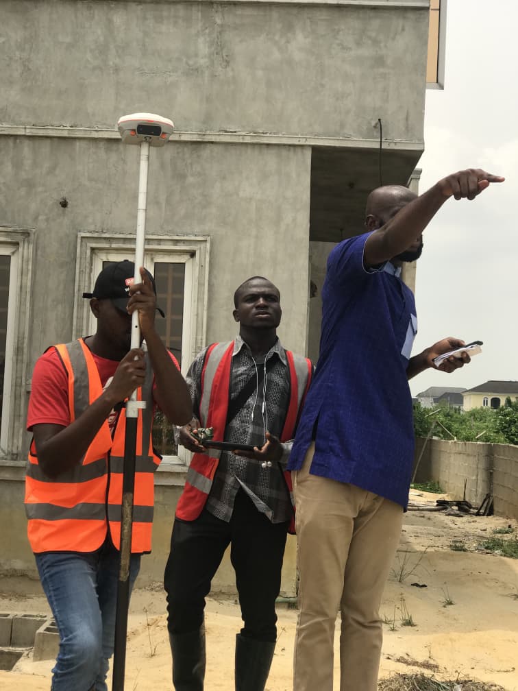
Why BIM Engineers And Surveyors Must Work Together And How OTIC Surveys Saved The Day
Modern construction projects depend on seamless collaboration between surveyors and BIM engineers to ensure accuracy from field data to digital models.

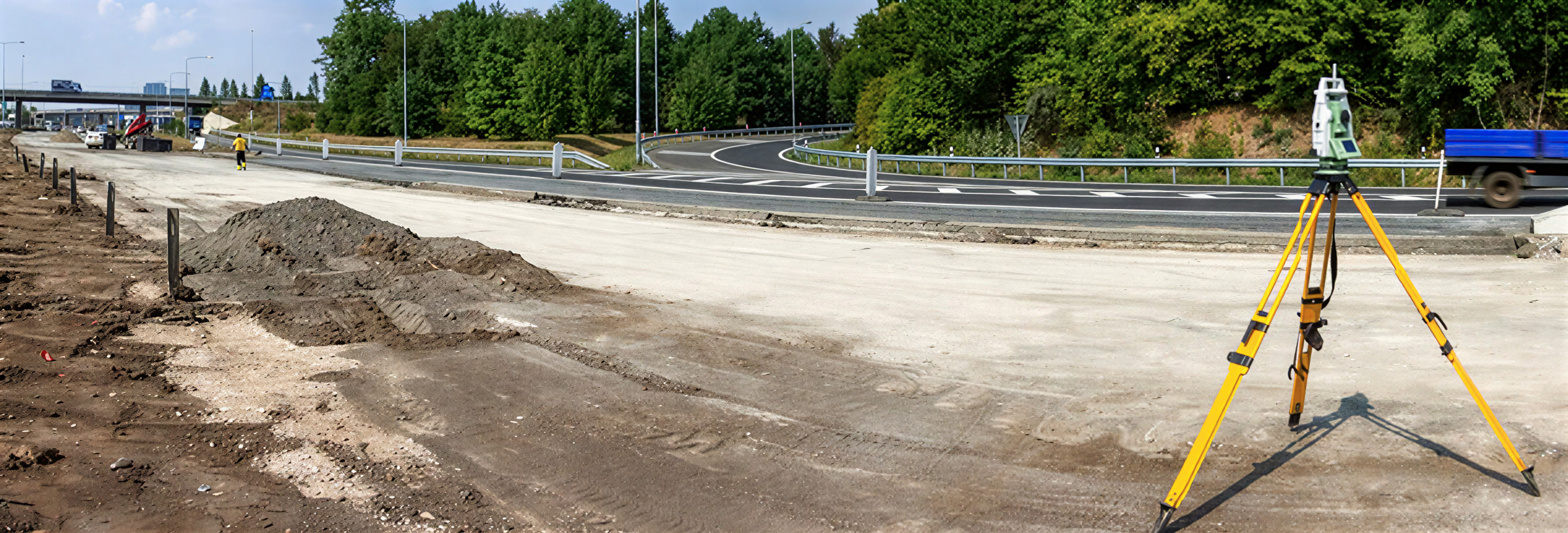
Top Benefits of Drone Surveying for Land Developers
Drone surveying is transforming land development by providing fast, accurate, and detailed site data that traditional methods often struggle to deliver efficiently.

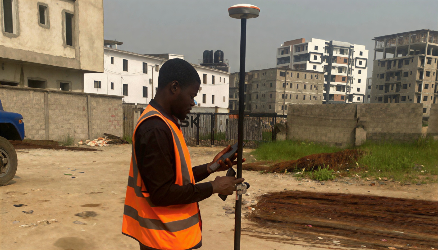
Part 2: How AI and Automation Are Already Transforming Land Surveying — Real Tools, Real Impact
Artificial Intelligence is no longer a futuristic concept in surveying; it is already transforming how Nigerian surveyors collect, process, and deliver spatial data.

Avoid Land Disputes: Why You Need a Survey Plan Before Building
Buying land without a proper survey plan exposes property owners to serious risks, including boundary disputes, legal challenges, and potential financial loss.
From Compass to Controller: The Evolution of Survey Traditions and Tools
Surveying has evolved from manual tools like ropes, chains, and compasses into a technology-driven profession powered by GNSS, RTK systems, and drone mapping.

AI in Land Surveying: How Artificial Intelligence and Automation Are Transforming Surveying in Nigeria by 2030
AI and automation are no longer buzzwords; they are becoming the new foundation of modern surveying.

A Buyer’s Guide To Safe Land Acquisition In Lagos, Nigeria: 10 Essential Steps to carry out
Buying land in Lagos can be a rewarding investment, but it also comes with significant risks ranging from Omonile scams to government acquisitions and forged documents.

Bathymetric Survey at Eleko
At Eleko, Lagos, our team carried out a bathymetric survey to provide an accurate assessment of sand dredged by a client.
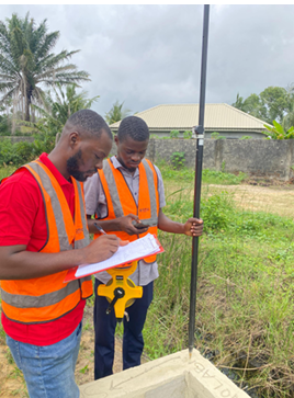
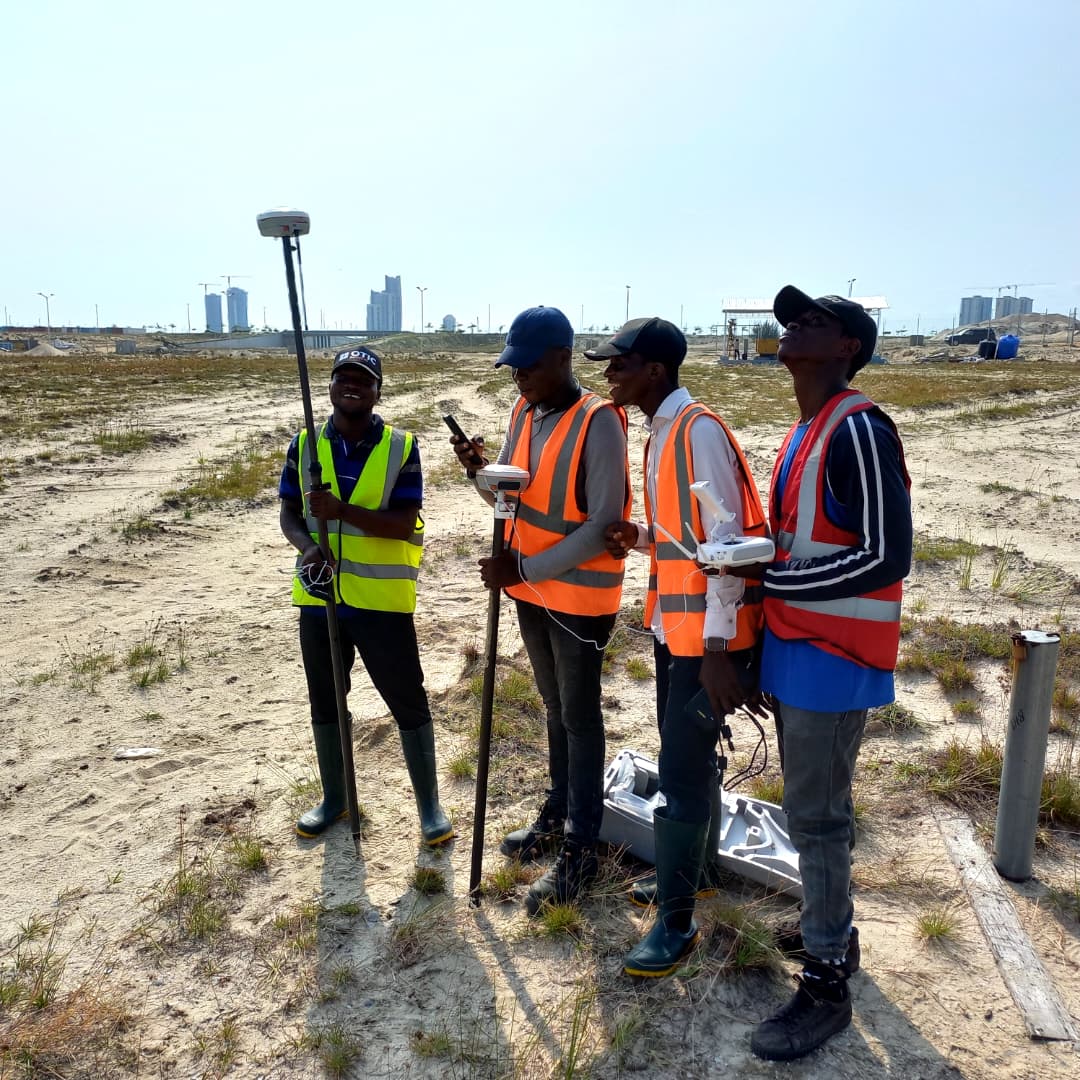
The Silent Architects of Development: How Surveyors Shape Cities Before Anyone Else Does
Surveying in Nigeria goes beyond technology; it is built on a foundation of discipline, teamwork, and integrity.